World Borders Quizzes: Master Geography with DodoThinks
September 2, 2026 · 9 min read · updated September 2, 2026
Master World Borders: Your Guide to Engaging Geography Quizzes
Learning world geography, especially the intricate lines that divide countries, can feel like a daunting task. You're trying to recall hundreds of shapes, neighbors, and locations, often from memory. The most effective way to master these details is through active recall, repeatedly testing yourself until the information sticks.
This guide is for you, whether you're a geography student aiming for top marks, a casual learner curious about the world, or a quiz enthusiast looking for your next challenge. We'll explore how world borders quizzes can dramatically improve your geographical knowledge and give you practical ways to test yourself. As a copywriter for DodoThinks, I've seen firsthand how our free, accessible platform helps people around the globe sharpen their geography skills with over 30 game modes covering flags, capitals, and country shapes. You can start playing immediately, no download or initial signup required.
How World Borders Quizzes Sharpen Your Geography Skills
World borders quizzes are more than just a fun pastime; they are a powerful learning tool. They engage a part of your brain that actively retrieves information, which is far more effective than passively reading a map. When you try to identify a country by its shape or neighbors, you're building stronger neural connections that make recall easier over time.
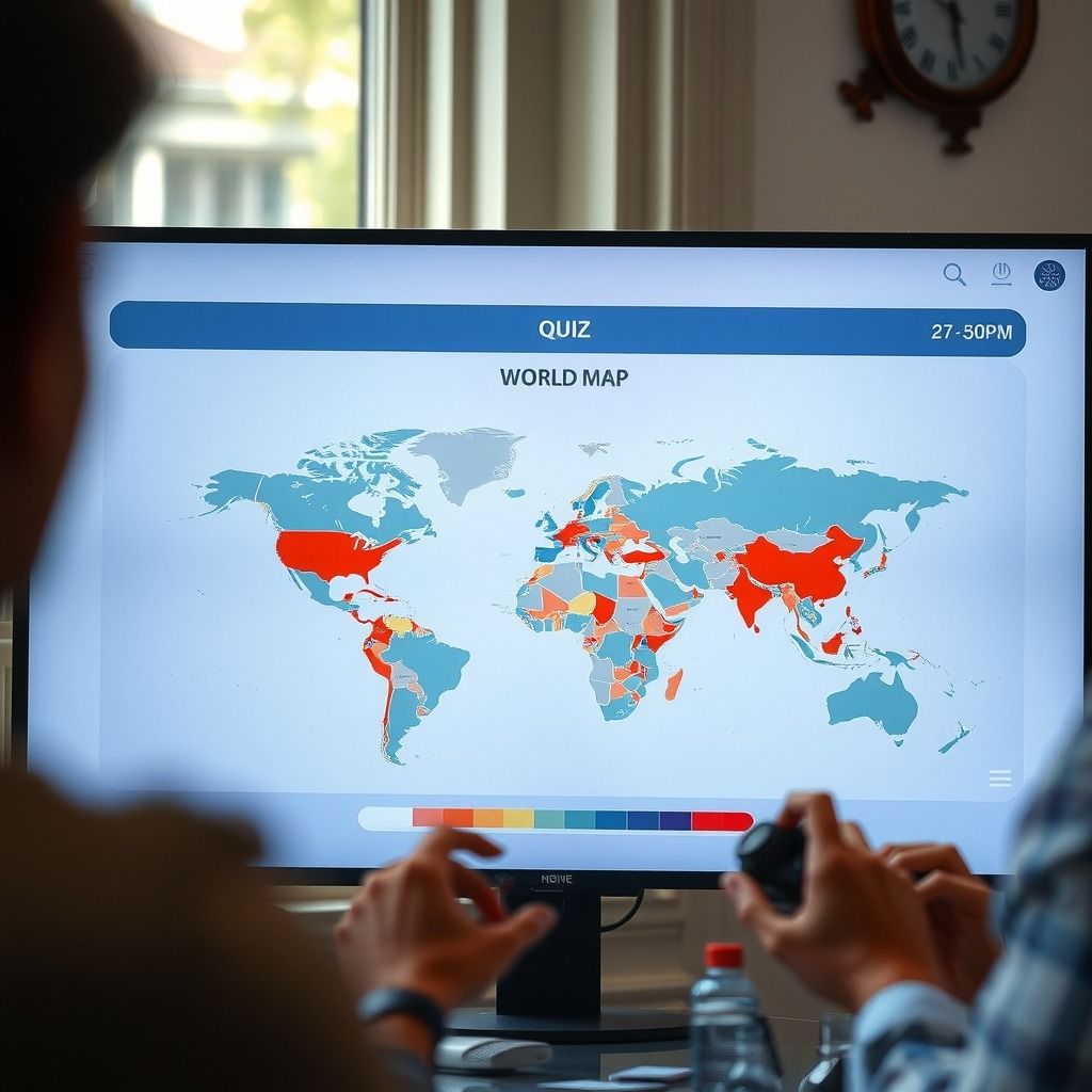
DodoThinks uses this principle with its game modes. Each game features a 10-round challenge with a 9-second timer per question, pushing you to think quickly and accurately. This format helps solidify your knowledge under pressure, mirroring how you might need to recall information in a test or a trivia game. It also makes learning efficient, letting you fit short, impactful sessions into your day.
Can I guess all 197 countries?
You can definitely work towards identifying most, if not all, countries. DodoThinks focuses on 195 countries, which represents the universally recognized sovereign states as listed by the United Nations. While some lists might include 197 or more by counting partially recognized states or dependent territories, mastering the 195 core countries is an excellent and achievable goal. Our platform covers these 195 countries across all game modes, giving you a comprehensive learning experience.
Beyond Just Borders: The Variety of Geography Challenges
Focusing solely on borders can be limiting. True geography mastery comes from understanding a country's entire profile. DodoThinks offers a wide array of game modes that allow you to tackle geography from multiple angles. This variety keeps learning fresh and ensures you're building a holistic understanding of world geography.
Here are some of the game modes you can explore:
- Flags: Identify countries by their national banners.
- Capitals: Match countries with their capital cities.
- Country Shapes: Recognize nations purely by their outline.
- Click-the-Map: Locate countries on an interactive world map.
- Continents: Test your knowledge of continental divisions.
- Borders: Focus specifically on neighboring countries.
- Populations: Learn about the population sizes of different nations.
Each game mode comes with three distinct difficulty levels:
| Difficulty Level | Focus Area | Example Countries |
|---|---|---|
| Easy | Famous countries, larger landmasses | United States, Canada, Russia, China, Brazil |
| Difficult | Less-known countries, more complex shapes | Chad, Laos, Bulgaria, Ecuador, Uzbekistan |
| So Difficult | Rare countries, small island nations | Vanuatu, San Marino, Comoros, Eswatini, Kiribati |
This tiered approach means you can start with what you know and gradually challenge yourself, ensuring you're always learning without getting overwhelmed. It's a great way to build confidence before tackling the really tricky ones.
The Countries with the Most Neighbors
Understanding which countries share the most borders gives you a unique perspective on geopolitical connections and regional influences. These nations often act as crucial hubs for trade, culture, and sometimes conflict.
Which country borders 14 countries?
Two countries share borders with 14 other nations: China and Russia. This makes them the countries with the most land borders in the world, as detailed by sources like the CIA World Factbook. Their vast sizes and strategic locations mean they interact with a huge number of diverse neighbors.
For example, China shares borders with Afghanistan, Bhutan, India, Kazakhstan, Kyrgyzstan, Laos, Mongolia, Myanmar, Nepal, North Korea, Pakistan, Russia, Tajikistan, and Vietnam. Imagine the complexity of managing those relationships! Learning these connections helps you understand global dynamics. You can test your knowledge of these complex border networks using DodoThinks' "Borders" game mode, where you can focus on identifying neighbors.
The Art of a Border: Beyond Lines on a Map
Borders aren't just arbitrary lines; they often follow natural features or represent significant historical and cultural divisions. Exploring these boundaries can reveal fascinating geographical and human stories.
What is the most beautiful border in the world?
Defining the "most beautiful border" is subjective, as beauty often lies in the eye of the beholder and the story behind the landscape. However, many consider borders that follow dramatic natural features to be among the most stunning.
Think about the Iguazu Falls, separating Argentina and Brazil, where a spectacular series of waterfalls creates a breathtaking natural boundary. Or consider the Himalayan mountain range, which forms a majestic, towering border between countries like Nepal, India, Bhutan, and China. Another striking example is the Niagara Falls region, which marks a portion of the Canada-United States border, blending natural wonder with international demarcation. These natural borders often highlight the raw power and artistry of the Earth itself, making them visually remarkable.
Some borders are also notable for their stark contrasts. The border between Haiti and the Dominican Republic, visible from space, showcases a dramatic difference in deforestation levels, telling a story of distinct environmental policies. While not traditionally "beautiful," it's certainly impactful and thought-provoking.
Test Your Knowledge: Hard Geography Questions
Ready to really challenge yourself? Here are some questions that often trip up even seasoned geography enthusiasts. These questions often involve less-known countries, tricky capitals, or obscure geographical facts.
Can you give me 20 hard geography questions and answers?
Here are some challenging geography questions that go beyond the basics. These are the kinds of questions that appear in our "So Difficult" game modes, designed to push your knowledge of the world's less-traveled corners.
- Which landlocked country in Central Asia shares a border with all four other Central Asian countries (Kazakhstan, Kyrgyzstan, Tajikistan, and Turkmenistan)?
- Answer: Uzbekistan. Its unique position as a "doubly landlocked" country makes its borders particularly interesting.
- What is the capital city of Vanuatu, an island nation in the South Pacific Ocean?
- Answer: Port Vila. Many people struggle with the capitals of smaller island nations.
- Which country's highest point is Mount Fuji, a famous active stratovolcano?
- Answer: Japan. While Mount Fuji is iconic, connecting it directly to the country can be a challenge for some.
- Which European microstate is entirely surrounded by Italy and is one of the world's oldest republics?
- Answer: San Marino. Its small size and historical significance make it a challenging but rewarding piece of trivia.
- What is the longest river in Southeast Asia, flowing through China, Myanmar, Laos, Thailand, Cambodia, and Vietnam?
- Answer: The Mekong River. Tracing its path through multiple countries tests your knowledge of regional geography.
- Which African country is the only one to have Spanish as an official language, aside from the Spanish territories?
- Answer: Equatorial Guinea. Its official languages include Spanish, as confirmed by various linguistic and governmental sources like the CIA World Factbook. Its colonial history makes it an outlier on the continent.
- The Strait of Gibraltar separates which two continents and which two countries?
- Answer: Europe and Africa; Spain and Morocco. Understanding key waterways and their bordering nations is crucial.
- Which country is home to the ancient city of Petra, known for its rock-cut architecture?
- Answer: Jordan. Connecting famous landmarks to their specific countries can be difficult.
These questions test your recall of specific details, not just general locations. Practicing with these types of questions, especially with a timer, helps embed this knowledge more deeply.
Putting Your Knowledge to the Test: A Daily Challenge
Consistent practice is the key to mastering world geography. That's why DodoThinks offers daily challenges designed to keep you engaged and your knowledge sharp. Each day, a new set of questions will test a different aspect of your geography skills, from flags to capitals to country shapes.
These daily challenges are a great way to incorporate learning into your routine without it feeling like a chore. You can quickly jump in, complete the 10-round challenge, and see how you stack up. You can sign in with Google to save your progress and track your scores on a global leaderboard. This competitive element motivates you to improve, as you'll see your rank against other geography enthusiasts worldwide. It's not just about learning; it's about proving your mastery and climbing the ranks.
To make the most of it, try this: pick a specific "click-the-map" border challenge each day and aim to beat your previous score. Focus on a particular continent for a week, then move to another. This structured approach, combined with the quick, timed quizzes, provides an efficient way to learn and retain information.
Your Path to Geography Mastery: Getting Started is Simple
DodoThinks makes learning world geography accessible to everyone. We understand that barriers like downloads, complex sign-up processes, or subscription fees can deter people from starting. That's why we remove them.
You can play immediately without requiring any download or initial signup. Just visit the website, choose a game mode, and start learning. It's completely free to play. If you decide you want to save your progress, track your scores, and see where you rank on the global leaderboard, you can easily sign in with Google. This simple step lets you pick up where you left off and measure your improvement over time. The platform's extensive variety and active recall method ensure an engaging and effective learning experience for all skill skills.
Take the next step
Ready to put your geography knowledge to the test and master world borders? Join thousands of learners challenging themselves daily on DodoThinks. Start exploring over 30 game modes today and see how quickly you can climb the global leaderboard.
Frequently asked questions
Can I guess all 197 countries?
You can work towards identifying most countries, yes. DodoThinks covers 195 countries, which are the universally recognized sovereign states. While some sources might include 197 or more by counting partially recognized states or dependent territories, mastering the 195 core countries is an excellent and comprehensive goal.
Which country borders 14 countries?
Two countries share borders with 14 other nations: China and Russia. Their vast geographical sizes and strategic locations mean they interact with a large number of diverse neighbors. This makes them the countries with the most land borders in the world.
What is the most beautiful border in the world?
Defining the "most beautiful border" is subjective and often comes down to personal preference. However, many people consider borders that follow dramatic natural features, like the Iguazu Falls between Argentina and Brazil or the Himalayan mountain range, to be among the most visually stunning due to their breathtaking landscapes.
Can you give me 20 hard geography questions and answers?
Here are a few challenging geography questions to test your knowledge:
- Which landlocked country in Central Asia shares a border with all four other Central Asian countries? (Answer: Uzbekistan)
- What is the capital city of Vanuatu? (Answer: Port Vila)
- Which country's highest point is Mount Fuji? (Answer: Japan)
- Which European microstate is entirely surrounded by Italy? (Answer: San Marino)
- Which African country is the only one to have Spanish as an official language? (Answer: Equatorial Guinea)