


Central Africa Map Quiz at a Glance
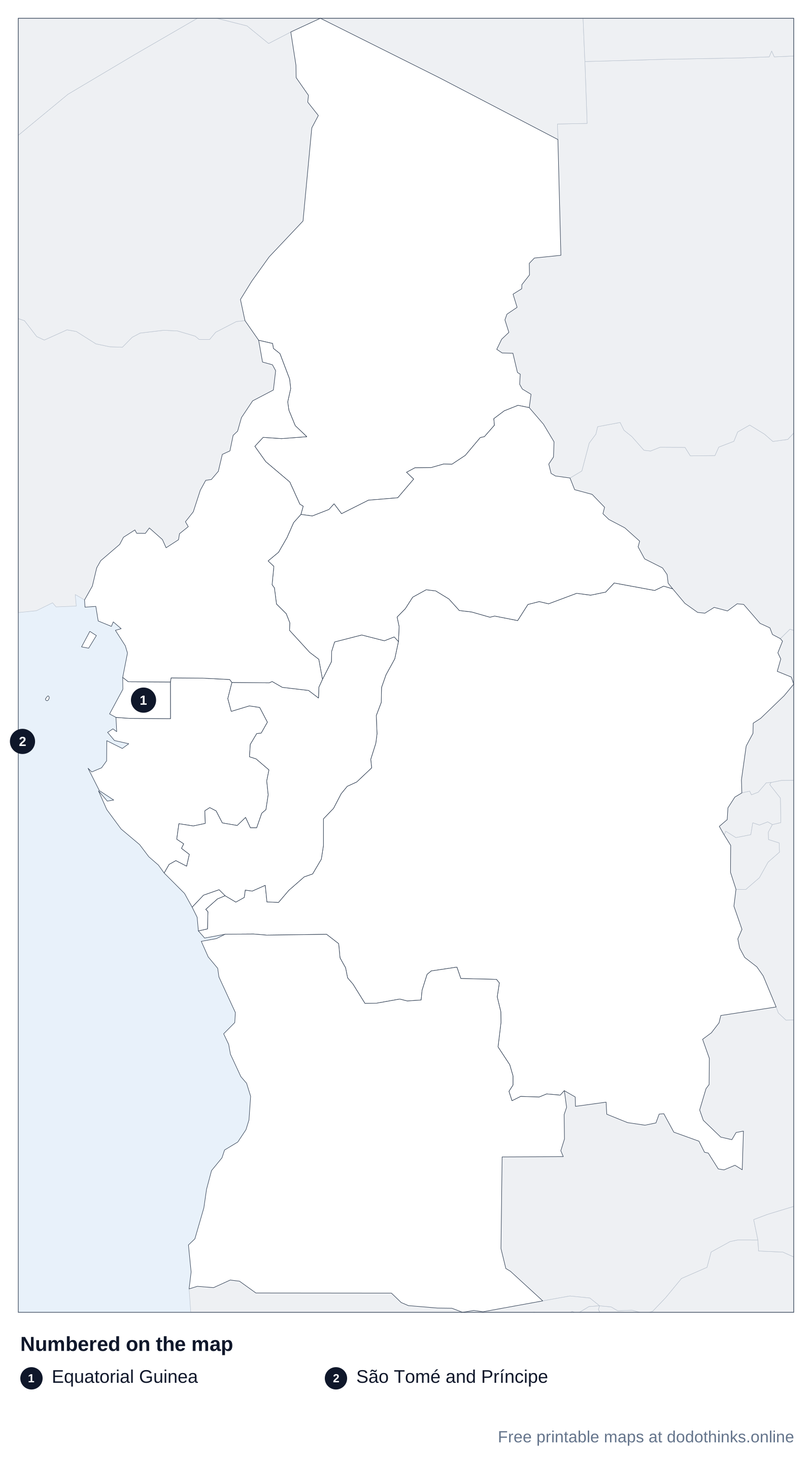
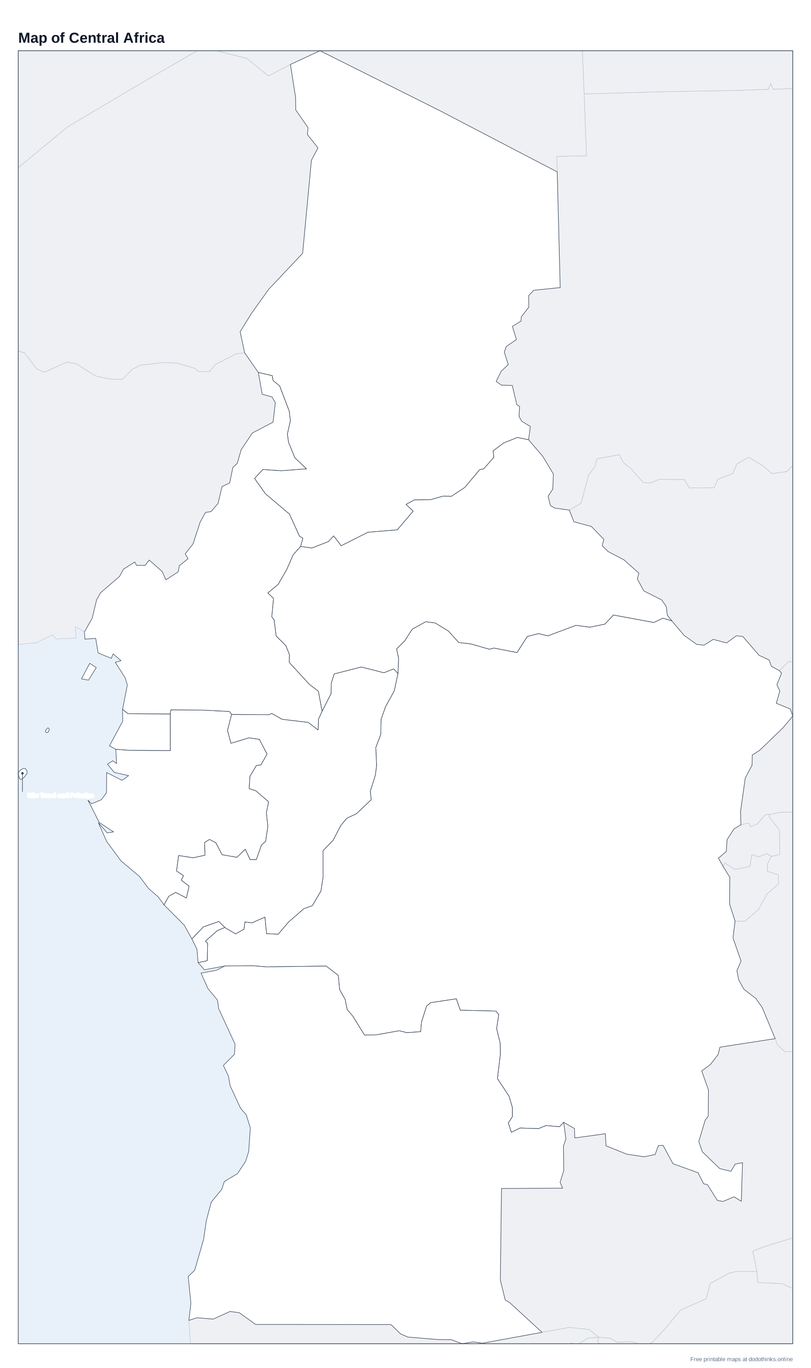
Central Africa, the UN's Middle Africa, has nine countries: Angola, Cameroon, the Central African Republic, Chad, the Republic of the Congo, DR Congo, Equatorial Guinea, Gabon and São Tomé and Príncipe. Here they are on a labelled map, with a free quiz for the countries, their capitals and the two Congos.
- Countries
- 9
- Largest
- DR Congo, 2,344,858 km²
- Smallest
- São Tomé and Príncipe, 964 km²
- Most people
- DR Congo, 112.8 million
- Rounds
- Countries, capitals, look-alikes
How to Play the quiz
- The labelled map at the top shows every country. Print it, or the blank version to test yourself on paper.
- In Countries, a country is named and you click it on the map. In Capitals, a capital is named and you click its country.
- The Look-alikes round asks only the ones players mix up: The two Congos, Gabon and Equatorial Guinea.
- Small countries have a ring so you can tap them on a phone. There is no time limit, and the right country turns green after every answer.
Central Africa is the heart of the continent: the Congo Basin and its rainforest, the second-largest in the world, with Chad reaching north into the Sahara and Angola south towards the Kalahari. The Equator crosses Gabon, the Republic of the Congo, DR Congo and São Tomé and Príncipe.
The Two Congos
DR Congo (the Democratic Republic of the Congo, capital Kinshasa) is the second-largest country in Africa. The Republic of the Congo (capital Brazzaville) is much smaller, to its west. Kinshasa and Brazzaville face each other across the Congo River: apart from Rome and the Vatican, they are the two closest capital cities in the world.
Gabon, Equatorial Guinea and São Tomé
Equatorial Guinea's mainland is the small square between Cameroon and Gabon, but its capital, Malabo, is on the island of Bioko; it is the only country in Africa with Spanish as an official language. São Tomé and Príncipe, two islands in the Gulf of Guinea, is the smallest country here. Angola has an exclave, Cabinda, north of the strip of DR Congo that reaches the Atlantic.
The Countries of Central Africa
In alphabetical order.
| # | Country | Capital | Population | Area |
|---|---|---|---|---|
| 1 | Angola | Luanda | 39 million | 1,246,700 km² |
| 2 | Cameroon | Yaoundé | 29.9 million | 475,442 km² |
| 3 | Central African Republic | Bangui | 5.5 million | 622,984 km² |
| 4 | Chad | N'Djamena | 21 million | 1,284,000 km² |
| 5 | DR Congo | Kinshasa | 112.8 million | 2,344,858 km² |
| 6 | Equatorial Guinea | Malabo | 1.9 million | 28,051 km² |
| 7 | Gabon | Libreville | 2.6 million | 267,668 km² |
| 8 | Republic of the Congo | Brazzaville | 6.5 million | 342,000 km² |
| 9 | São Tomé and Príncipe | São Tomé | 240,254 | 964 km² |
Frequently Asked Questions
What countries are in Central Africa?
Angola, Cameroon, the Central African Republic, Chad, the Republic of the Congo, DR Congo, Equatorial Guinea, Gabon, and São Tomé and Príncipe, the UN's Middle Africa. Some lists add Rwanda and Burundi, which the UN counts in East Africa.
What is the difference between the two Congos?
DR Congo, capital Kinshasa, is the huge country in the middle of Africa. The Republic of the Congo, capital Brazzaville, is its smaller neighbour to the west, across the Congo River.
What is the largest country in Central Africa?
DR Congo, the second-largest country in Africa after Algeria.
What is the capital of the Central African Republic?
Bangui, on the Ubangi River, across from DR Congo.
Is the quiz free?
Yes. It runs in your browser, on a phone or a computer, with no download and no account. The printable maps are free too.
Made by Kashif Sulehria in Lahore, Pakistan. Updated November 2, 2026.