


North Africa Map Quiz at a Glance
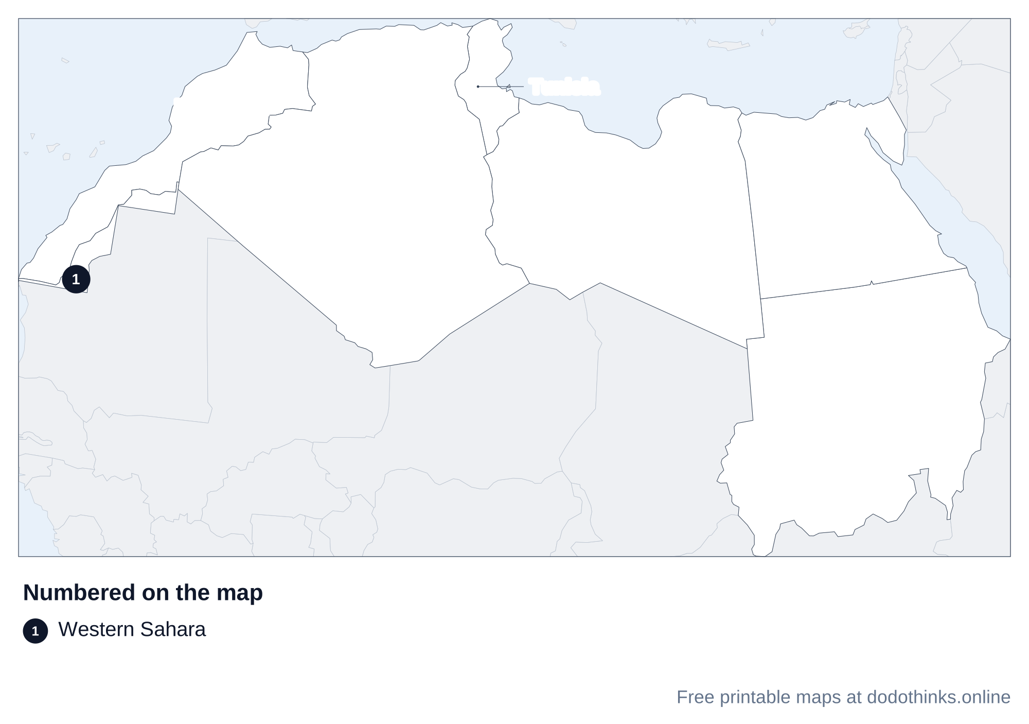
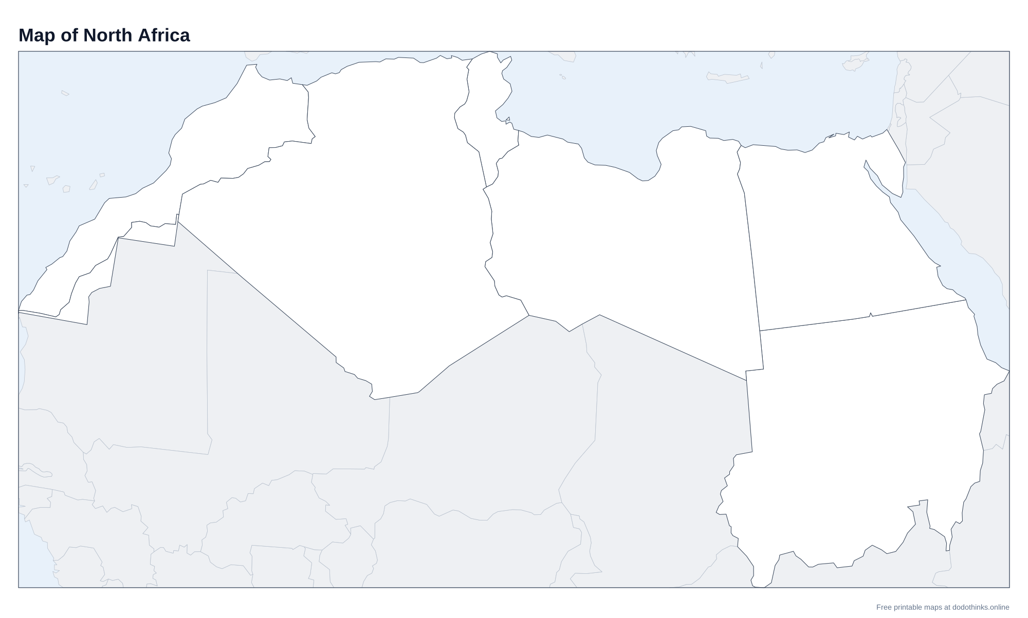
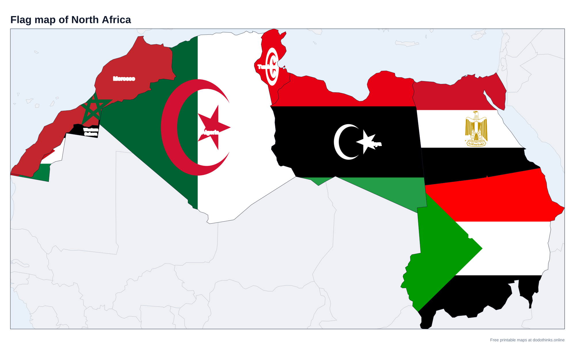
North Africa, as the UN counts it, is six countries, Algeria, Egypt, Libya, Morocco, Sudan and Tunisia, plus the disputed territory of Western Sahara. Here they are on a labelled map, with a free quiz for the countries and their capitals.
- Countries
- 6, plus Western Sahara
- Largest
- Algeria, 2,381,741 km²
- Smallest
- Tunisia, 163,610 km²
- Most people
- Egypt, 118.4 million
- Rounds
- Countries, capitals, look-alikes
How to Play the quiz
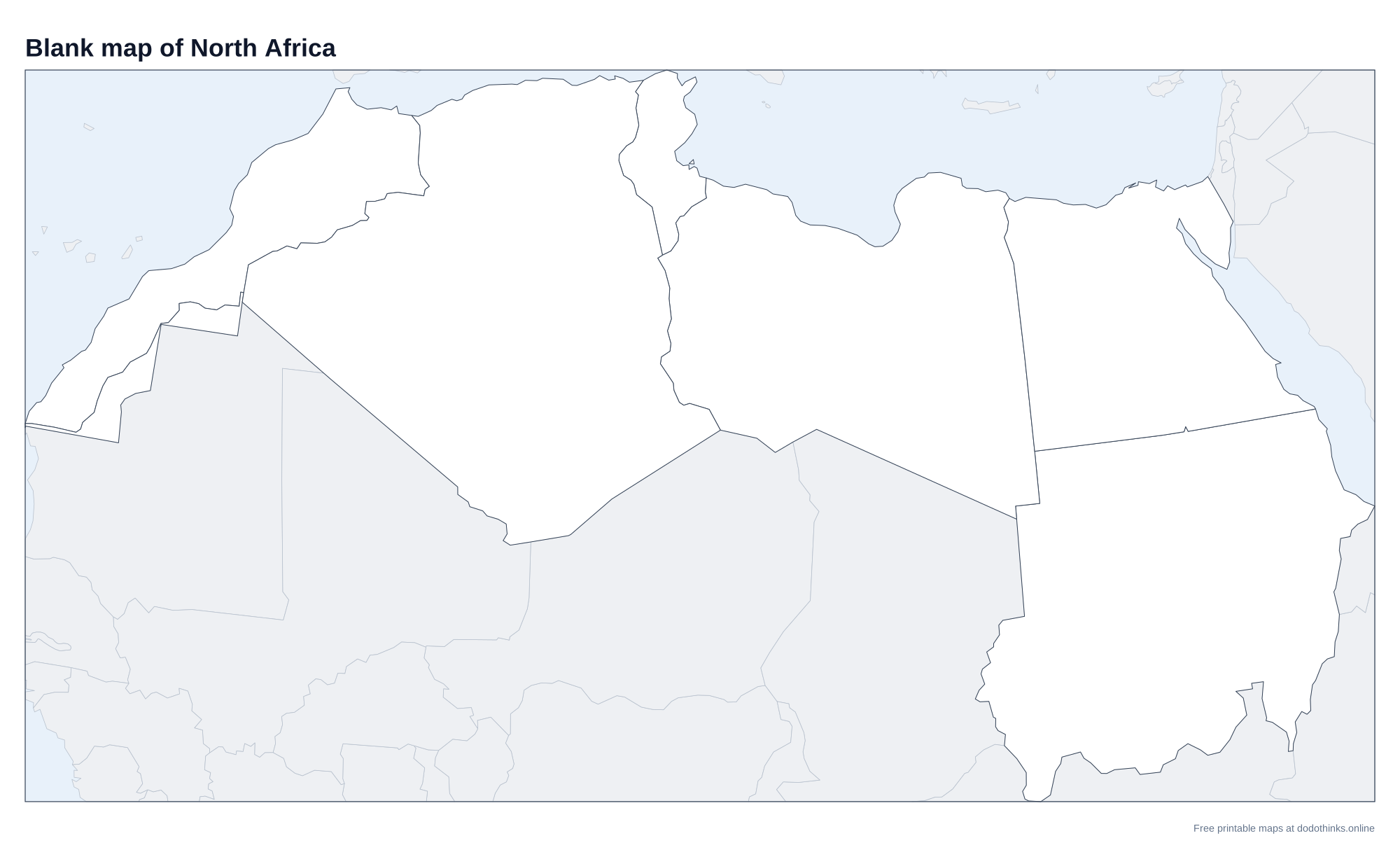
- The labelled map at the top shows every country. Print it, or the blank version to test yourself on paper.
- In Countries, a country is named and you click it on the map. In Capitals, a capital is named and you click its country.
- The Look-alikes round asks only the ones players mix up: Tunisia, Western Sahara, Libya and Morocco.
- Small countries have a ring so you can tap them on a phone. There is no time limit, and the right country turns green after every answer.
North Africa runs along the Mediterranean, from the Atlantic to the Red Sea, and south into the Sahara, which covers most of it. The Nile crosses it from south to north, through Sudan and Egypt, to its delta on the Mediterranean.
Western Sahara
Western Sahara is a disputed territory on the Atlantic coast. Morocco controls most of it and claims all of it; the Sahrawi Arab Democratic Republic, backed by the Polisario Front, claims it too and holds a strip in the east. The UN lists it as a non-self-governing territory. It is asked on this map as a place, as on our Africa map, but not in the capitals round.
The Maghreb and the Nile
The western part, Morocco, Algeria and Tunisia (often with Libya and Mauritania), is called the Maghreb, Arabic for "the west". Algeria is the largest country in Africa. In the east, Egypt and Sudan share the Nile: the Blue Nile and the White Nile meet at Khartoum, Sudan's capital, and the river flows on through Egypt to Cairo. South Sudan split from Sudan in 2011 and is counted with East Africa.
The Countries of North Africa
In alphabetical order.
| # | Country | Capital | Population | Area |
|---|---|---|---|---|
| 1 | Algeria | Algiers | 47.4 million | 2,381,741 km² |
| 2 | Egypt | Cairo | 118.4 million | 1,002,450 km² |
| 3 | Libya | Tripoli | 7.5 million | 1,759,540 km² |
| 4 | Morocco | Rabat | 38.4 million | 446,550 km² |
| 5 | Sudan | Khartoum | 51.7 million | 1,886,068 km² |
| 6 | Tunisia | Tunis | 12.3 million | 163,610 km² |
| 7 | Western Sahara | (disputed) | 652,271 | 266,000 km² |
Frequently Asked Questions
What countries are in North Africa?
Algeria, Egypt, Libya, Morocco, Sudan and Tunisia, plus Western Sahara. Mauritania is sometimes included; the UN counts it in West Africa.
What is the largest country in North Africa?
Algeria, which is also the largest country in Africa.
Is Egypt in Africa or Asia?
Mostly Africa. The Sinai Peninsula, east of the Suez Canal, is in Asia, which makes Egypt one of the few countries on two continents.
What is the capital of Morocco?
Rabat. Casablanca is the largest city.
Is the quiz free?
Yes. It runs in your browser, on a phone or a computer, with no download and no account. The printable maps are free too.
Made by Kashif Sulehria in Lahore, Pakistan. Updated November 2, 2026.