


East Africa Map Quiz at a Glance
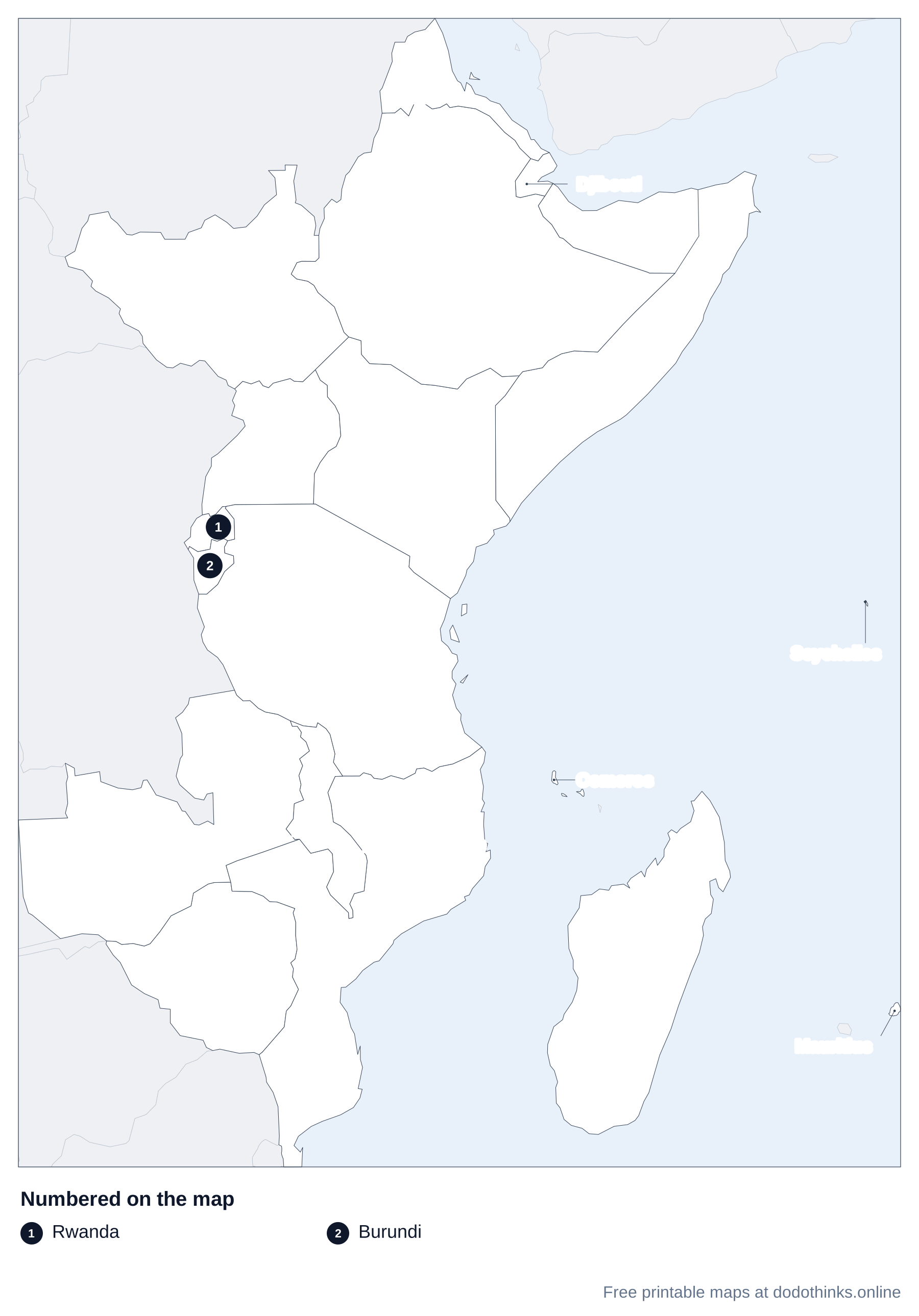
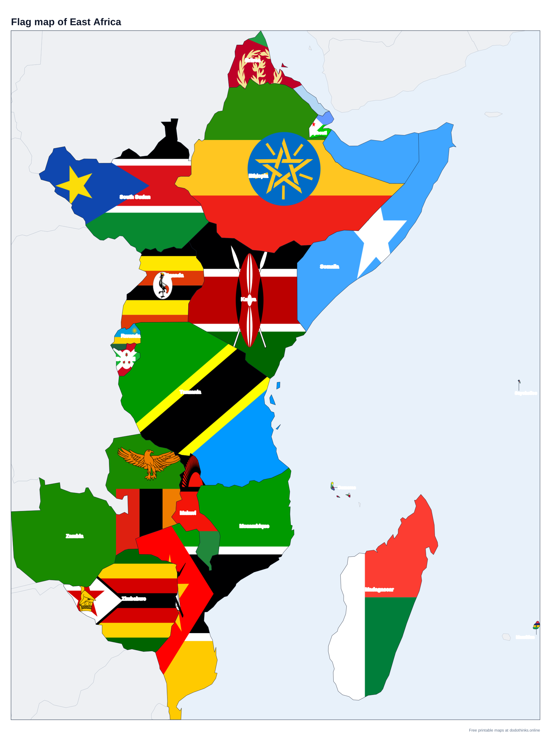
East Africa, as the UN counts it, has 18 countries: the Horn of Africa, the Great Lakes, the Zambezi countries and the islands of the Indian Ocean, from Eritrea to Madagascar and Mauritius. Here they are on a labelled map, with a free quiz for the countries and capitals.
- Countries
- 18
- Largest
- Ethiopia, 1,104,300 km²
- Smallest
- Seychelles, 452 km²
- Most people
- Ethiopia, 135.5 million
- Rounds
- Countries, capitals, look-alikes
How to Play the quiz
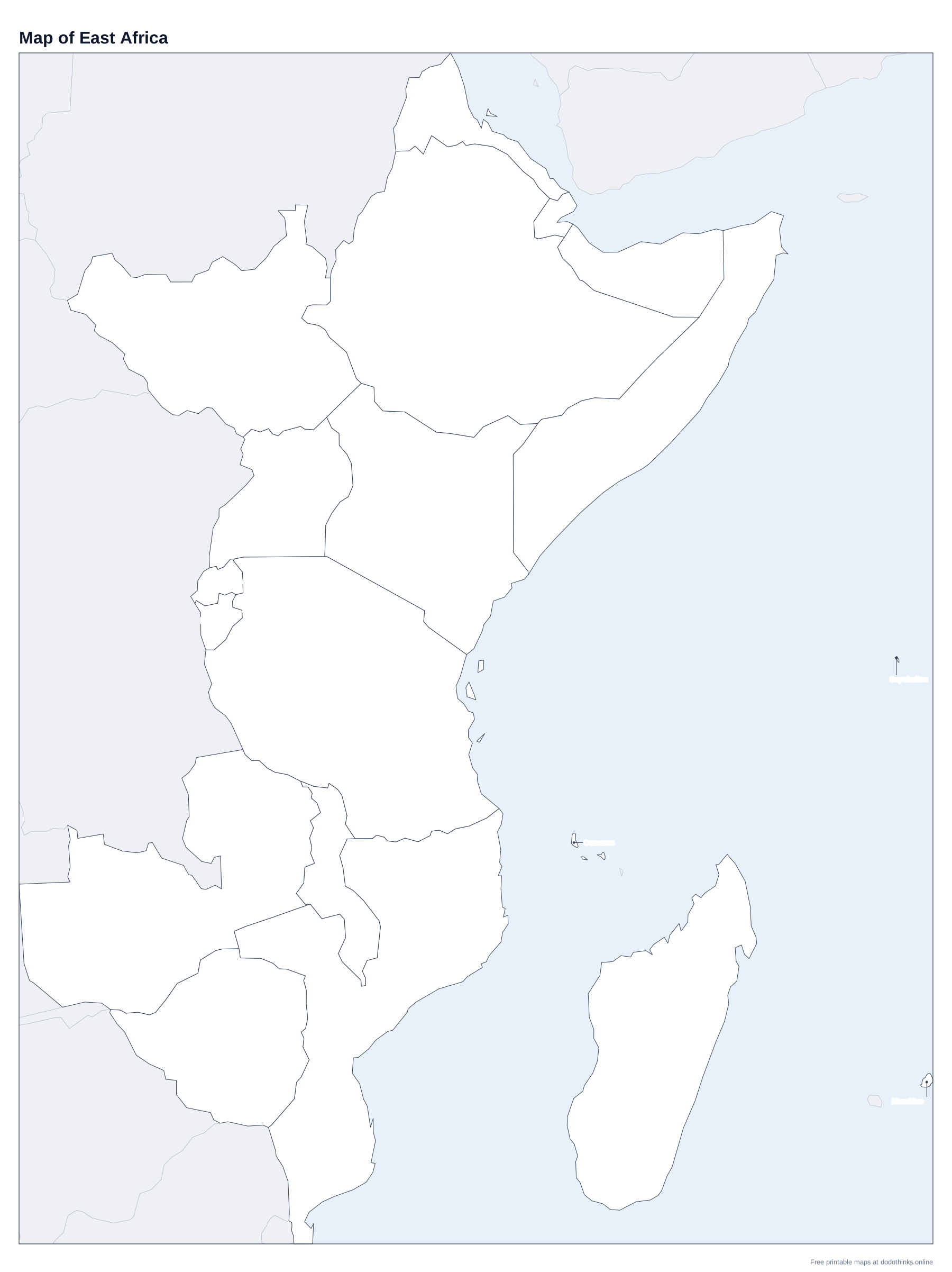
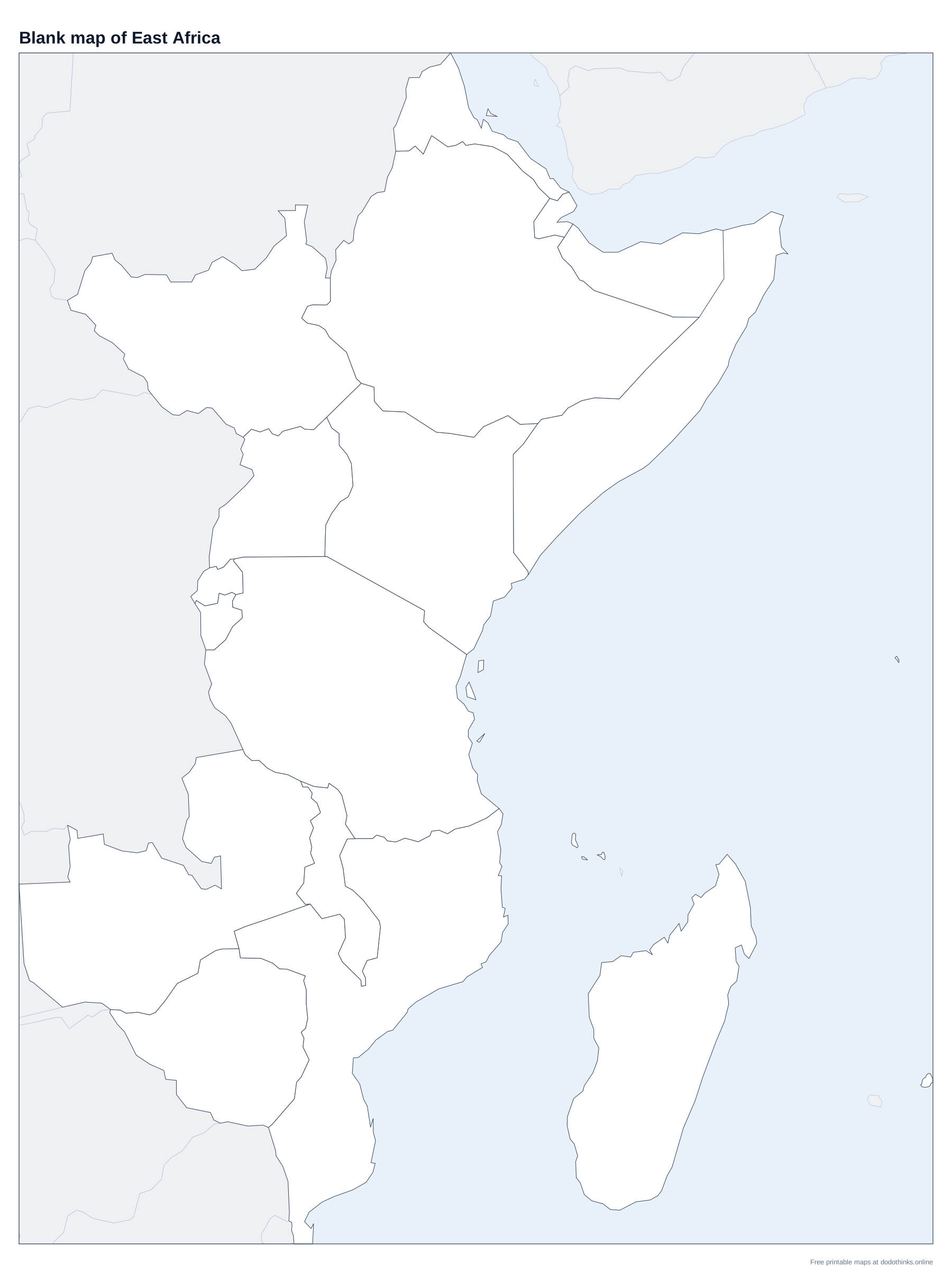
- The labelled map at the top shows every country. Print it, or the blank version to test yourself on paper.
- In Countries, a country is named and you click it on the map. In Capitals, a capital is named and you click its country.
- The Look-alikes round asks only the ones players mix up: Rwanda and Burundi, Zambia and Zimbabwe, and the rest.
- Small countries have a ring so you can tap them on a phone. There is no time limit, and the right country turns green after every answer.
East Africa runs from the Red Sea to the Zambezi and out into the Indian Ocean. The Great Rift Valley cuts through it, with Africa's highest mountain, Kilimanjaro in Tanzania, and its largest lake, Lake Victoria, shared by Uganda, Kenya and Tanzania.
Rwanda, Burundi and the Other Mix-ups
Rwanda (capital Kigali) and Burundi (capital Gitega) are the two small countries west of Lake Victoria; Rwanda is the northern one. Malawi is the long, thin country along Lake Malawi. Zambia is north of Zimbabwe; the Zambezi and Victoria Falls are on their border. Djibouti is the small country between Eritrea, Ethiopia and Somalia, and South Sudan, the newest country in the world (2011), is north of Uganda.
The Horn of Africa and the Islands
Ethiopia, landlocked since Eritrea became independent in 1993, is the most populous country in East Africa and the second in Africa. Somalia's north is Somaliland, which declared independence in 1991 but is not a UN member; it is grey on the map, as on our Africa map. Offshore, Madagascar is the fourth-largest island in the world, and the Seychelles are the smallest country in Africa.
The Countries of East Africa
In alphabetical order.
| # | Country | Capital | Population | Area |
|---|---|---|---|---|
| 1 | Burundi | Gitega | 14.4 million | 27,834 km² |
| 2 | Comoros | Moroni | 882,847 | 1,862 km² |
| 3 | Djibouti | Djibouti | 1.2 million | 23,200 km² |
| 4 | Eritrea | Asmara | 3.6 million | 117,600 km² |
| 5 | Ethiopia | Addis Ababa | 135.5 million | 1,104,300 km² |
| 6 | Kenya | Nairobi | 57.5 million | 580,367 km² |
| 7 | Madagascar | Antananarivo | 32.7 million | 587,041 km² |
| 8 | Malawi | Lilongwe | 22.2 million | 118,484 km² |
| 9 | Mauritius | Port Louis | 1.2 million | 2,040 km² |
| 10 | Mozambique | Maputo | 35.6 million | 801,590 km² |
| 11 | Rwanda | Kigali | 14.6 million | 26,338 km² |
| 12 | Seychelles | Victoria | 122,730 | 452 km² |
| 13 | Somalia | Mogadishu | 19.7 million | 637,657 km² |
| 14 | South Sudan | Juba | 12.2 million | 619,745 km² |
| 15 | Tanzania | Dodoma | 70.5 million | 945,087 km² |
| 16 | Uganda | Kampala | 51.4 million | 241,550 km² |
| 17 | Zambia | Lusaka | 21.9 million | 752,612 km² |
| 18 | Zimbabwe | Harare | 17 million | 390,757 km² |
Frequently Asked Questions
What countries are in East Africa?
Burundi, the Comoros, Djibouti, Eritrea, Ethiopia, Kenya, Madagascar, Malawi, Mauritius, Mozambique, Rwanda, the Seychelles, Somalia, South Sudan, Tanzania, Uganda, Zambia and Zimbabwe. In everyday use, East Africa often means just Kenya, Tanzania, Uganda, Rwanda and Burundi.
What is the capital of Tanzania?
Dodoma, in the middle of the country. Dar es Salaam, on the coast, is the largest city.
What is the capital of Burundi?
Gitega, since 2019. Bujumbura, the former capital, is still the largest city.
What is the smallest country in East Africa?
The Seychelles, a group of islands in the Indian Ocean, which is also the smallest country in Africa.
Is the quiz free?
Yes. It runs in your browser, on a phone or a computer, with no download and no account. The printable maps are free too.
Made by Kashif Sulehria in Lahore, Pakistan. Updated November 2, 2026.