
Choose your challenge
Free Geography Games
129 free games and quizzes: guess the flag, find countries on the map, name the capitals. No sign up, and DodoThinks is in 19 languages.
Games by region
World
All 43 world gamesEurope
All 21 Europe gamesAsia
All 23 Asia gamesAfrica
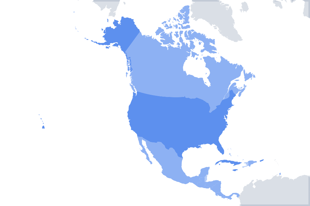
All 12 Africa gamesNorth America
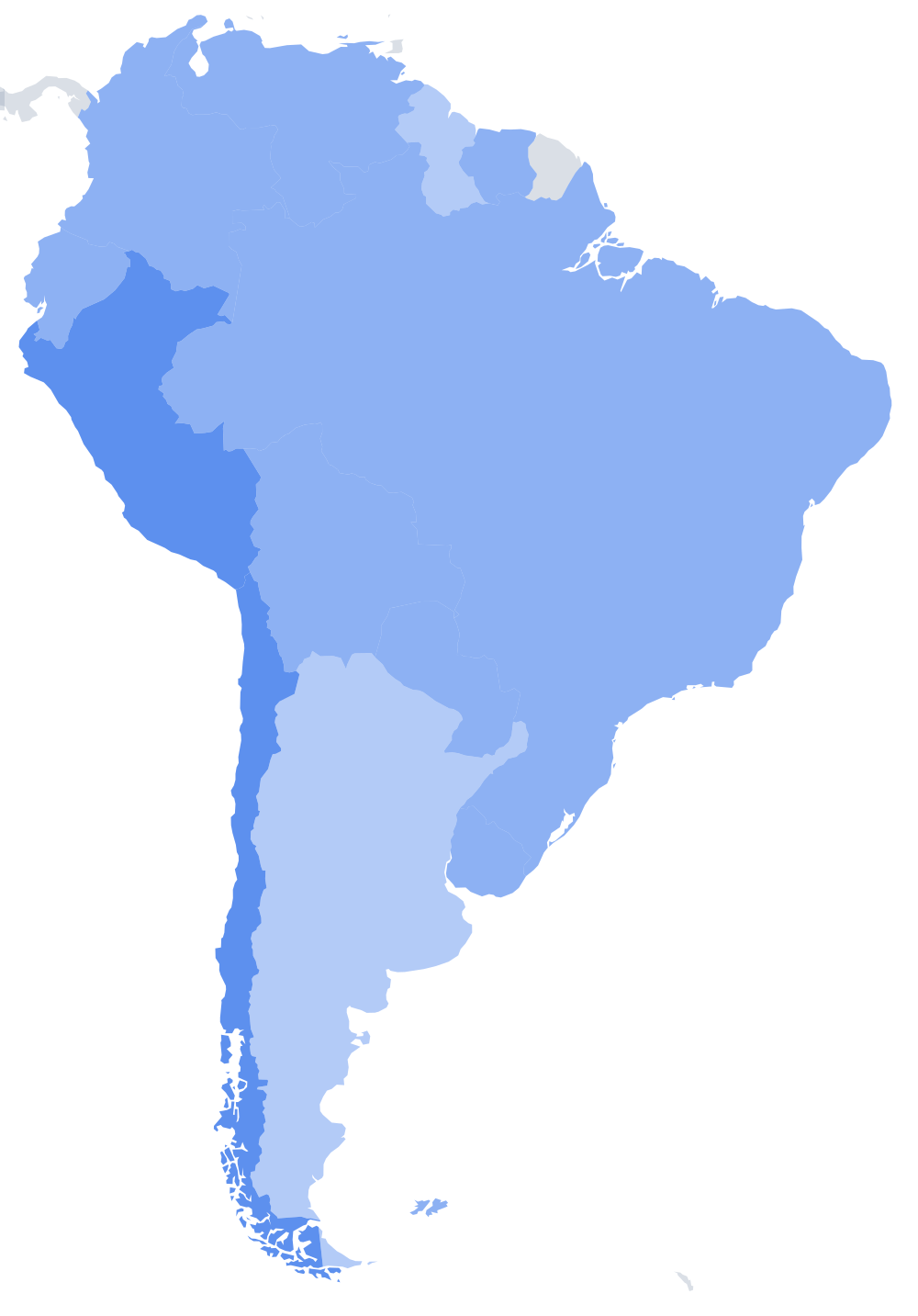
All 14 Americas gamesSouth America
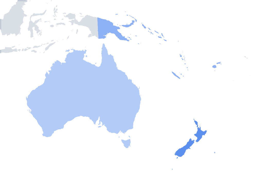
All 14 Americas gamesOceania
All 4 Oceania gamesThe U.S.
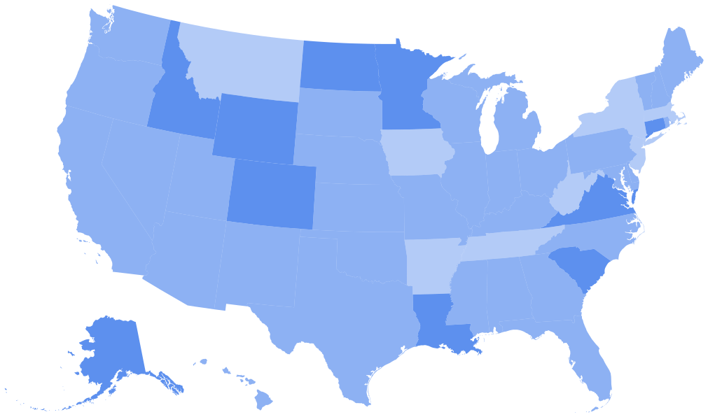
All 13 U.S. games
More ways to play
- Street ViewLook around a real street in 360° and guess the country.
- Country ShapesGuess the country from its map outline.
- Daily FlagA mystery flag uncovered tile by tile. New every day.
- Countries of the WorldHow many of the 195 can you name? Each one lights up on a globe.
- Flags of the World MarathonName every flag of the world, at your own pace. Every flag counts on the leaderboard.
- Planet QuizName the 8 planets by sight, place and fun facts.
- Currency QuizWhich country uses the baht? Name the currencies of the world.
- Pick All That MatchTap every country that drives on the left, is in the EU, or has a king.
- Rank the CountriesPut five countries in order by population, area or GDP.
See all 129 games
Countries of the World
Type a country and it lights up on the map. How many of the 195 can you name?
Play now


Guess the Country by EmojiDAILY
Name the country from its emoji. New every day.
Guess the CountryNEW
See a flag, tap the country, keep going. Three misses and you are out.
Flags of the World MarathonNEW
Name every flag of the world, at your own pace. Every flag counts on the leaderboard.
Flags of the World
Every world flag with a quiz and full list.
Flags of Europe
European flags and the classic look-alikes.
Flags of Asia
Asian flags and the star-and-crescent family.
Flags of Africa
All 54, plus the pan-African colours.
Flags of Oceania
Pacific flags and the Southern Cross.
Flags of North America
North American & Caribbean flags.
Flags of South America
All 12 and the Gran Colombia colours.
US State FlagsNEW
All 50 state flags with names, then a quiz with the look-alike seal flags.
Coats of ArmsNEW
Name the country from its coat of arms, then the German Länder, Polish voivodeships and Spanish regions.
Flags That Look AlikeNEW
Chad and Romania, Indonesia and Monaco and more, side by side, then a quiz.
Paint the FlagNEW
Colour in flags from memory: stripes, crosses and stars, then flags with an emblem. Plus a flag maker.
Japan Prefecture FlagsNEW
All 47 prefecture flags with names, then a quiz with the white look-alikes.
Capital Cities of Europe
All 44 European capitals to master.
Capital Cities of Asia
48 capitals across the largest continent.
Middle East & Central Asia
20 tricky capitals to learn.
Capital Cities of Africa
54 countries: the most of any region.
Capitals of North America
From Ottawa to Panama City and the Caribbean.
Capitals of South America
All 12, from Bogotá to Buenos Aires.
Capital Cities of Oceania
Canberra to Funafuti: the Pacific capitals.
World Capital Cities
All 195 capitals in one quiz.
Southeast Asia MapNEW
The 11 countries from Myanmar to Timor-Leste, their capitals, then Laos, Cambodia and Vietnam.
East Asia MapNEW
China, Japan, the two Koreas, Mongolia and Taiwan, then their capitals.
South Asia MapNEW
India, Pakistan and their six neighbours, from Afghanistan to the Maldives.
Central Asia MapNEW
The five Stans, from Kazakhstan to Tajikistan, and their capitals.
North Africa MapNEW
Morocco to Egypt and Sudan, plus Western Sahara, then the capitals.
West Africa MapNEW
The 16 countries of the crowded west coast, with a round for Guinea and Guinea-Bissau.
Central Africa MapNEW
DR Congo and its neighbours, from Chad to Angola, with a round for the two Congos.
East Africa MapNEW
The Horn, the Great Lakes and the Indian Ocean islands: 18 countries.
Southern Africa MapNEW
South Africa, Namibia, Botswana, Lesotho and Eswatini, and their capitals.
Mediterranean CountriesNEW
The 21 countries on the Mediterranean Sea, then their capitals.
Balkans MapNEW
Slovenia to Greece: the Balkan countries, their capitals, then the ten players miss most.
Eastern Europe MapNEW
Poland to Russia: the UN ten, then the Baltic states and the Balkans, then capitals.
Western Europe MapNEW
France, Benelux, the Alps, the British Isles and Iberia, microstates included.
Central Europe MapNEW
Germany to Hungary, with a round for Slovakia, Slovenia and the other mix-ups.
Baltic States MapNEW
Estonia, Latvia and Lithuania, then every country on the Baltic Sea.
Nordic CountriesNEW
Denmark, Finland, Iceland, Norway and Sweden, with Greenland, the Faroes and Åland. Then the capitals.
Physical Map of EuropeNEW
Rivers, mountain ranges and seas: the Volga to the Thames, the Alps to the Urals.
Physical Map of AfricaNEW
The Nile and Congo, the Atlas and the Sahara, Lake Victoria and the seas around Africa.
Physical Map of AsiaNEW
The Yangtze and Ganges, the Himalayas and the Gobi, the Caspian and Lake Baikal.
Physical Map of North AmericaNEW
The Mississippi and Yukon, the Rockies and Appalachians, Hudson Bay and the Great Lakes.
Physical Map of South AmericaNEW
The Amazon and Paraná, the Andes and the Atacama, the Pampas and Lake Titicaca.
US Physical MapNEW
The Mississippi and Colorado, the Rockies and Great Plains, the Great Lakes and the Gulf.
World Capitals MapNEW
Every capital as a dot on the world map, one round per continent. No borders mode scores by distance.
US Cities MapNEW
The 50 biggest US cities and all 50 state capitals as dots on the map.
Famous LandmarksNEW
The New 7 Wonders, the ancient ones and 12 landmarks per continent on the map, plus a picture round.
Time Zones MapNEW
A live world clock, every country's UTC offset and the six US time zones, then a quiz.
Latitude and LongitudeNEW
Find the Equator and the tropics, read the coordinates of a dot, click the spot for 36°N 140°E.
True Size of CountriesNEW
Drag Greenland over Africa and watch it shrink, then play Which is bigger and the Mercator traps.
Physical Map of the WorldNEW
Seas and gulfs, the largest lakes, the longest rivers, and famous peaks and volcanoes from Everest to Krakatoa.
Tectonic Plates MapNEW
The 7 major plates, the minor ones and famous boundaries from the Mid-Atlantic Ridge to the San Andreas Fault.
Layers of the EarthNEW
Label the crust, mantle and core on a cut-away diagram, then the lithosphere and the Moho. Printable worksheet.
The Water CycleNEW
Evaporation, condensation, precipitation and seven more stages to label on the diagram. Printable worksheet.
US National ParksNEW
All 63 national parks on the map, from Acadia to Zion, and the state each is in.
Texas CountiesNEW
All 254 counties of Texas, the biggest first, and the county of 45 cities.
California CountiesNEW
All 58 counties of California, the biggest first, and the county of 53 cities.
US States Quiz
Type all 50 states from memory and fill the map.
US State ShapesNEW
Name the state from its outline alone: Texas is easy, Colorado or Wyoming is not. Then all 50.
US State AbbreviationsNEW
All 50 two-letter codes on the map, from AL to WY. See a code, find the state.
13 Colonies MapNEW
The 13 colonies of 1775 on a map: find each colony, its capital and its founder.
Great Lakes MapNEW
The five Great Lakes, the states around them and the cities on their shores.
States of IndiaNEW
Find all 28 states and 8 union territories, then their capitals.
Counties of EnglandNEW
All 48 counties, from Cornwall to Northumberland, then a town in each.
UK MapNEW
Scotland, Wales, Northern Ireland and the regions of England, then 69 cities.
South Africa MapNEW
The 9 provinces, their capitals and 55 cities.
Nigeria StatesNEW
The 36 states and the FCT, their capitals and 77 cities.
Philippines RegionsNEW
All 18 regions, then the 82 provinces and the cities.
China MapNEW
The 33 provinces and regions of China, then their capitals.
Japan PrefecturesNEW
All 47 prefectures of Japan, then the capitals with another name.
Russia MapNEW
The 83 republics, krais and oblasts of Russia, then their capitals.
Pakistan MapNEW
Find the 4 provinces, Islamabad, Gilgit-Baltistan and Azad Kashmir, then their capitals.
Pakistan CitiesNEW
From Lahore to Gwadar and Skardu: click the province each city is in.
Flag of PakistanNEW
What the green, the white, the crescent and the star mean, plus a flag quiz.
Latin America Map
22 countries, flags & capitals.
Europe Countries Quiz
Interactive map, capitals & flags mode.
Europe Countries Game
Click the map, name the country.
Planets in OrderNEW
Drag the 8 planets into order from the Sun, then by size.
Geography TriviaNEW
300+ questions on rivers, mountains, deserts, cities and oceans, each answer explained. Plus a daily five.
Country RouteNEW
Get from Portugal to Poland one land border at a time. The shortest route scores 100.
Rank the CountriesNEW
Put five countries in order by population, area or GDP.
Geography CrosswordNEW
A new mini every day and 12 themed crosswords: capitals, flags, rivers, US states. Printable.
Geography Word SearchNEW
12 printable word searches, from the countries of Africa to US state capitals, plus a word scramble.
Pick All That MatchNEW
Tap every country that drives on the left, is in the EU, or has a king.
Country ConnectionsDAILY
16 countries, four hidden groups of four. A new puzzle every day.
Country GridDAILY
A 3×3 grid: each cell needs a country that fits its row and its column. Rare answers score more.
Italian Geography Games
Learn all 20 regions, capitals & facts.
Italian Regions Quiz
Name each region from its capital.
Europe Map 1914
Empires, alliances & borders before WWI.
Europe 1914 Quiz
Match empires to modern countries.
No games match both filters.