


Southern Africa Map Quiz at a Glance
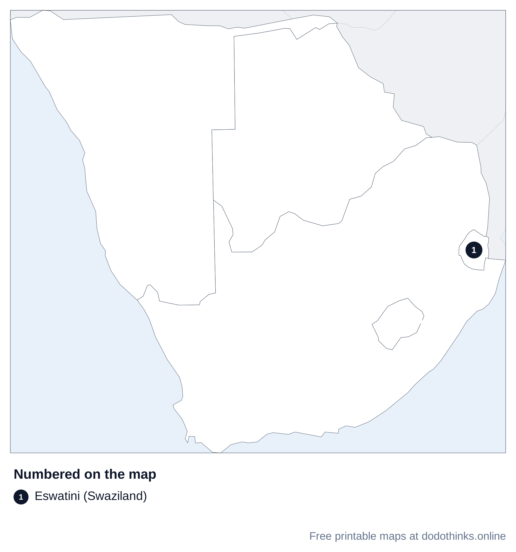
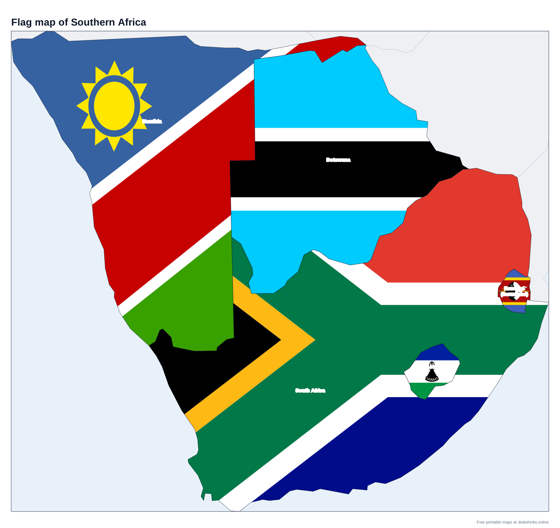
Southern Africa, as the UN counts it, is five countries: South Africa, Namibia, Botswana, Lesotho and Eswatini. Here they are on a labelled map, with a free quiz for the countries, their capitals, and Lesotho and Eswatini, the two small kingdoms.
- Countries
- 5
- Largest
- South Africa, 1,221,037 km²
- Smallest
- Eswatini (Swaziland), 17,364 km²
- Most people
- South Africa, 64.7 million
- Rounds
- Countries, capitals, look-alikes
How to Play the quiz
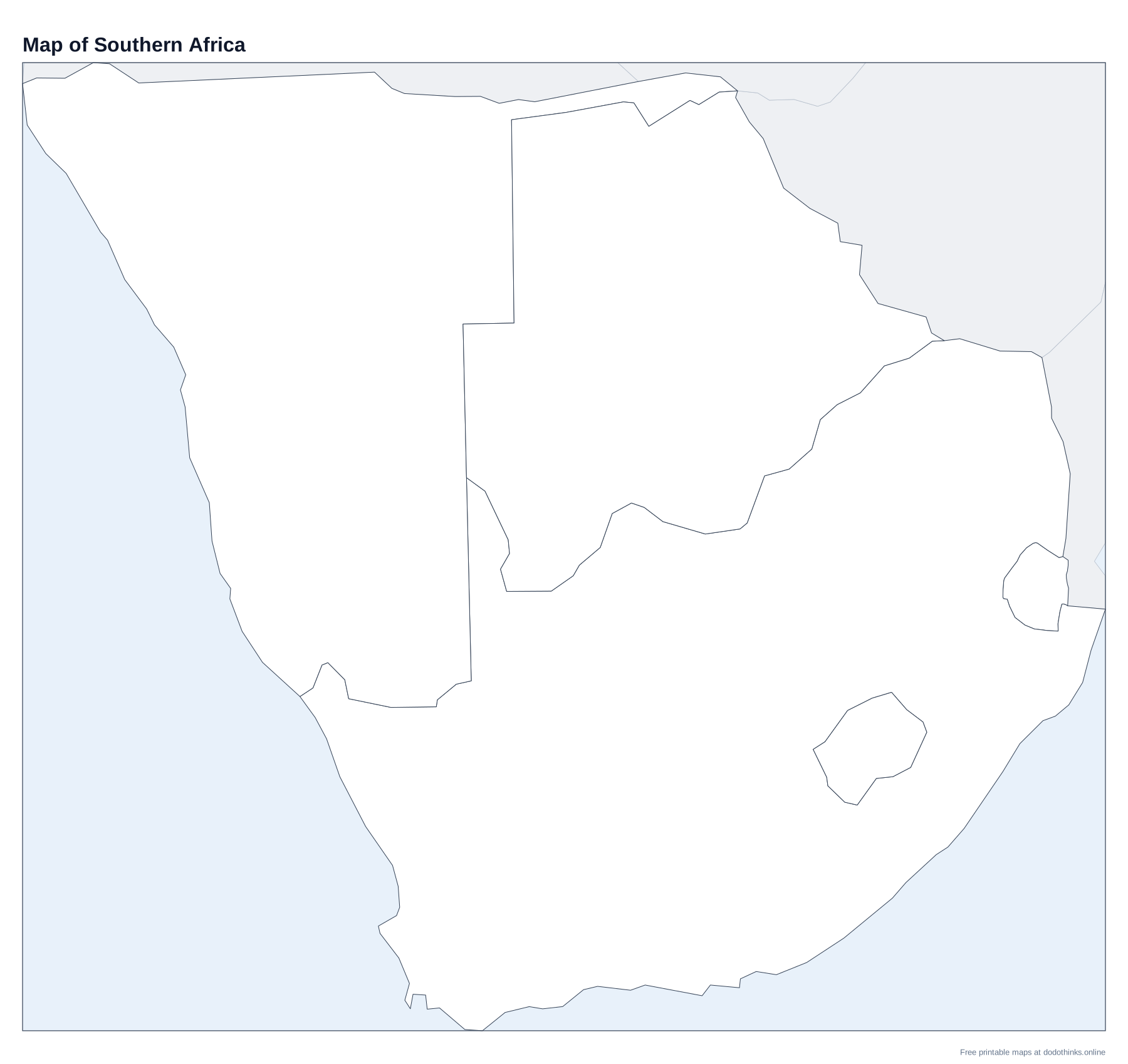
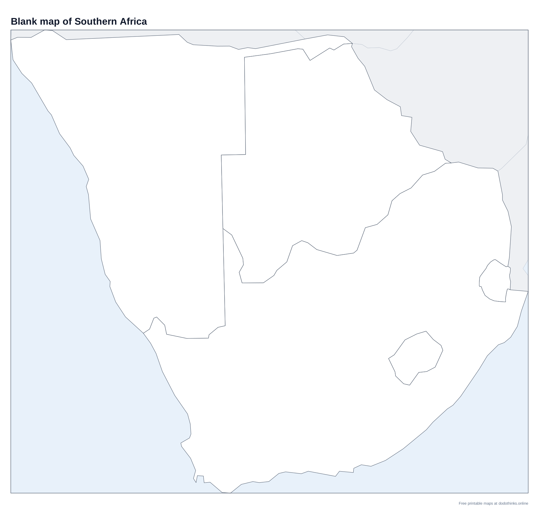
- The labelled map at the top shows every country. Print it, or the blank version to test yourself on paper.
- In Countries, a country is named and you click it on the map. In Capitals, a capital is named and you click its country.
- The Look-alikes round asks only the ones players mix up: Lesotho and Eswatini, Botswana and Namibia.
- Small countries have a ring so you can tap them on a phone. There is no time limit, and the right country turns green after every answer.
Southern Africa is the southern tip of the continent, between the Atlantic and the Indian Ocean: the Namib and Kalahari deserts in the west, the Drakensberg mountains in the east and the Cape at the end.
Lesotho and Eswatini
Lesotho (capital Maseru) is entirely surrounded by South Africa, one of only three countries inside another (with San Marino and the Vatican City in Italy). Its lowest point is about 1,400 m above sea level, the highest lowest point of any country. Eswatini, formerly Swaziland, is smaller and sits between South Africa and Mozambique; it is one of the last absolute monarchies in the world.
South Africa, Namibia and Botswana
South Africa has three capitals: Pretoria (government, used in this quiz), Cape Town (parliament) and Bloemfontein (courts). Namibia (capital Windhoek) is named after the Namib, one of the oldest deserts on Earth. Botswana (capital Gaborone) is mostly the Kalahari, with the Okavango Delta, a river that ends in the desert, in the north.
The Countries of Southern Africa
In alphabetical order.
| # | Country | Capital | Population | Area |
|---|---|---|---|---|
| 1 | Botswana | Gaborone | 2.6 million | 582,000 km² |
| 2 | Eswatini (Swaziland) | Lobamba | 1.3 million | 17,364 km² |
| 3 | Lesotho | Maseru | 2.4 million | 30,355 km² |
| 4 | Namibia | Windhoek | 3.1 million | 825,615 km² |
| 5 | South Africa | Pretoria | 64.7 million | 1,221,037 km² |
Frequently Asked Questions
What countries are in Southern Africa?
The UN counts five: Botswana, Eswatini, Lesotho, Namibia and South Africa. In everyday use, southern Africa often also means Zimbabwe, Mozambique, Zambia, Malawi and Angola, which the UN puts in East and Central Africa.
What is the capital of Eswatini?
It has two: Mbabane, the administrative capital, and Lobamba, the royal and legislative capital, which this quiz uses.
What country is inside South Africa?
Lesotho, which is completely surrounded by South Africa. Eswatini is almost surrounded too, but also borders Mozambique.
What is the capital of South Africa?
It has three: Pretoria (the government), Cape Town (parliament) and Bloemfontein (the courts).
Is the quiz free?
Yes. It runs in your browser, on a phone or a computer, with no download and no account. The printable maps are free too.
Made by Kashif Sulehria in Lahore, Pakistan. Updated November 2, 2026.