


West Africa Map Quiz at a Glance
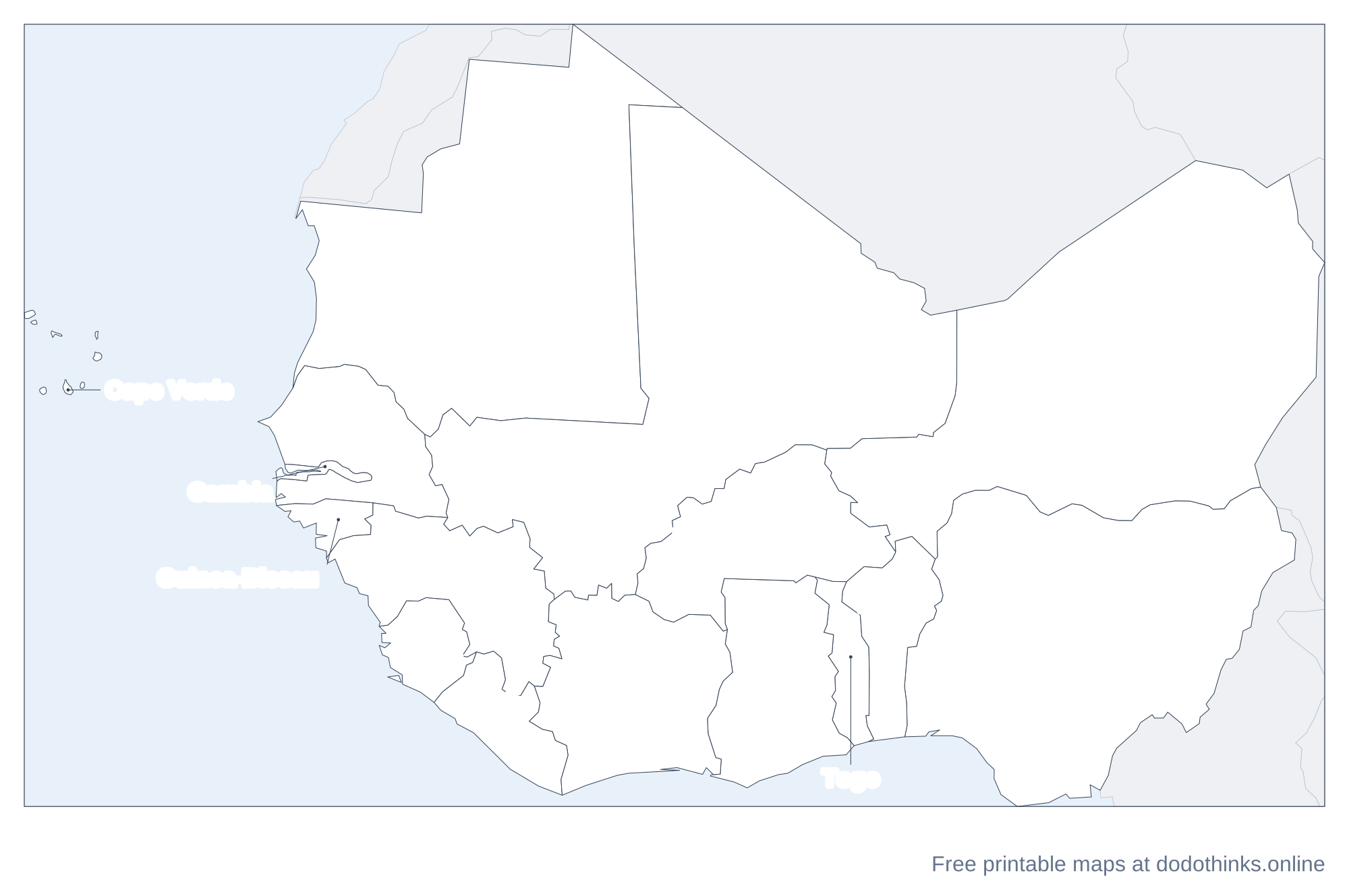
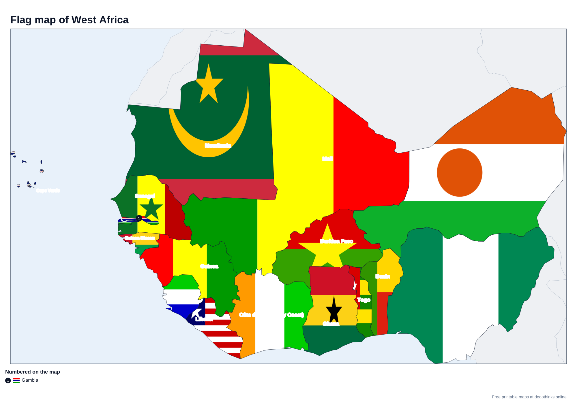
West Africa has 16 countries, from Mauritania and Cape Verde in the west to Niger and Nigeria in the east. It is the hardest part of the Africa map: small coastal countries side by side, and names like Guinea, Guinea-Bissau, Niger and Nigeria. Here they are on a labelled map, with a free quiz.
- Countries
- 16
- Largest
- Niger, 1,267,000 km²
- Smallest
- Cape Verde, 4,033 km²
- Most people
- Nigeria, 237.5 million
- Rounds
- Countries, capitals, look-alikes
How to Play the quiz
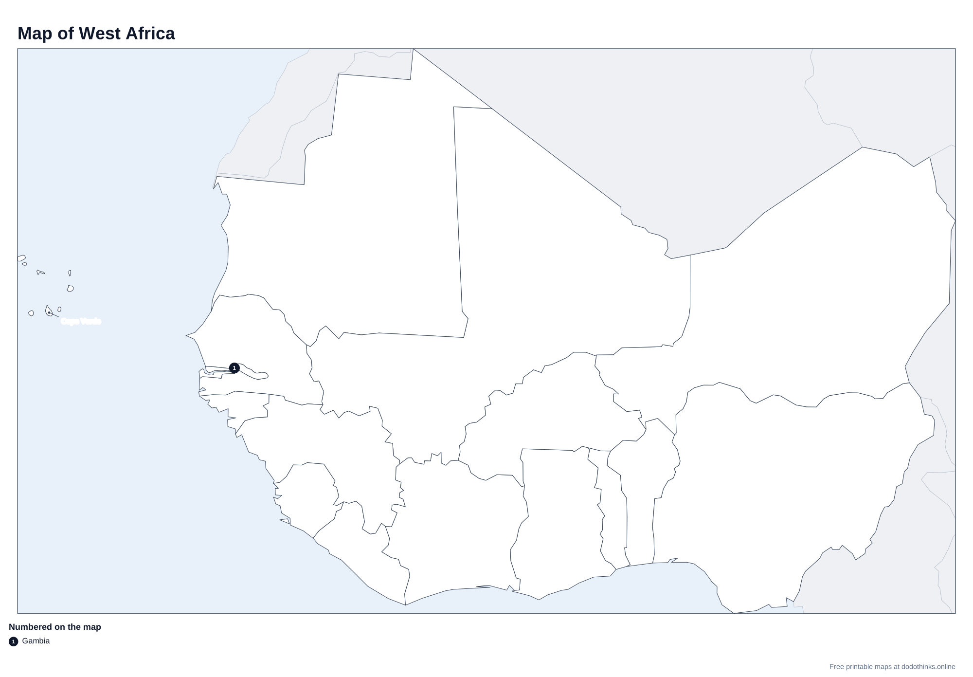
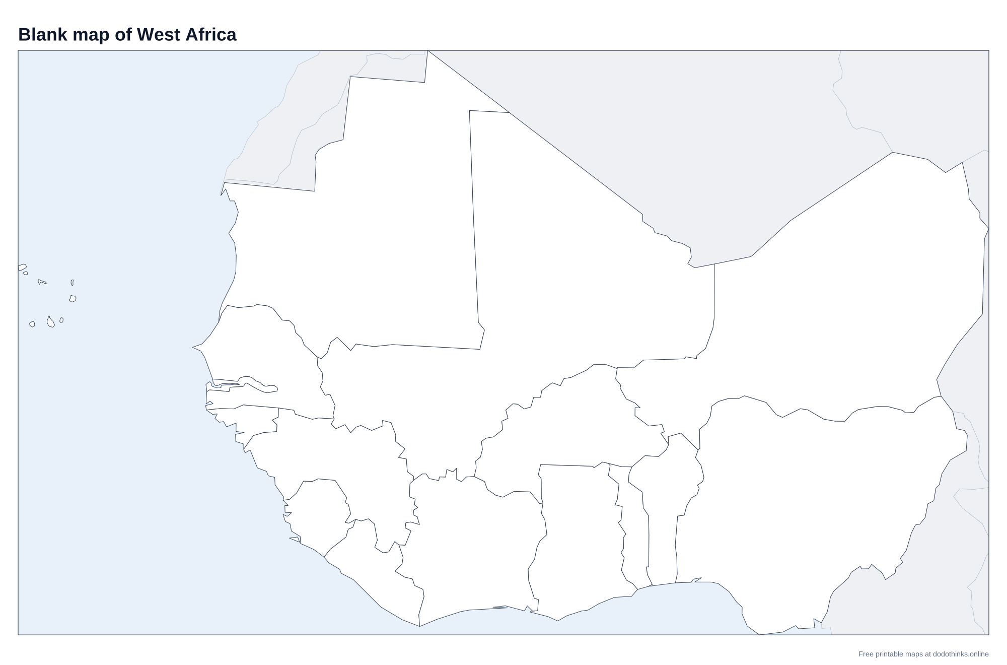
- The labelled map at the top shows every country. Print it, or the blank version to test yourself on paper.
- In Countries, a country is named and you click it on the map. In Capitals, a capital is named and you click its country.
- The Look-alikes round asks only the ones players mix up: Guinea and Guinea-Bissau, Togo and Benin, and the rest.
- Small countries have a ring so you can tap them on a phone. There is no time limit, and the right country turns green after every answer.
West Africa is the bulge of the continent, from the Atlantic coast to Lake Chad, and from the Sahara in the north to the Gulf of Guinea in the south. The Niger River runs through it in a great arc, from the highlands of Guinea through Mali and Niger to its delta in Nigeria.
Guinea, Guinea-Bissau and the Other Mix-ups
Guinea-Bissau is the small country on the coast north-west of Guinea (the third Guinea, Equatorial Guinea, is in Central Africa). The Gambia, the smallest country on the African mainland, is a strip along the Gambia River, surrounded by Senegal except at the coast. Sierra Leone is north-west of Liberia. Togo and Benin are two thin strips side by side, Togo to the west. Niger is the big Saharan country; Nigeria, south of it on the coast, has the most people in Africa.
Nigeria and the Sahel
Nigeria is Africa's most populous country, with its largest city, Lagos, and its capital, Abuja. The northern countries, Mauritania, Mali, Niger and Burkina Faso, lie in the Sahel, the dry belt between the Sahara and the savanna. Côte d'Ivoire's capital is Yamoussoukro, though Abidjan is the biggest city.
The Countries of West Africa
In alphabetical order.
| # | Country | Capital | Population | Area |
|---|---|---|---|---|
| 1 | Benin | Porto-Novo | 14.8 million | 112,622 km² |
| 2 | Burkina Faso | Ouagadougou | 24.1 million | 272,967 km² |
| 3 | Cape Verde | Praia | 527,326 | 4,033 km² |
| 4 | Côte d'Ivoire (Ivory Coast) | Yamoussoukro | 32.7 million | 322,463 km² |
| 5 | Gambia | Banjul | 2.8 million | 10,689 km² |
| 6 | Ghana | Accra | 35.1 million | 238,533 km² |
| 7 | Guinea | Conakry | 15.1 million | 245,857 km² |
| 8 | Guinea-Bissau | Bissau | 2.2 million | 36,125 km² |
| 9 | Liberia | Monrovia | 5.7 million | 111,369 km² |
| 10 | Mali | Bamako | 25.2 million | 1,240,192 km² |
| 11 | Mauritania | Nouakchott | 5.3 million | 1,030,700 km² |
| 12 | Niger | Niamey | 27.9 million | 1,267,000 km² |
| 13 | Nigeria | Abuja | 237.5 million | 923,768 km² |
| 14 | Senegal | Dakar | 18.9 million | 196,722 km² |
| 15 | Sierra Leone | Freetown | 8.8 million | 71,740 km² |
| 16 | Togo | Lomé | 8.6 million | 56,785 km² |
Frequently Asked Questions
How many countries are in West Africa?
Sixteen: Benin, Burkina Faso, Cape Verde, Côte d'Ivoire, the Gambia, Ghana, Guinea, Guinea-Bissau, Liberia, Mali, Mauritania, Niger, Nigeria, Senegal, Sierra Leone and Togo.
What is the smallest country in West Africa?
Cape Verde, the island nation in the Atlantic. On the mainland it is the Gambia, the smallest country on the African mainland.
What is the difference between Niger and Nigeria?
Both are named after the Niger River. Niger is the large, landlocked Saharan country, capital Niamey; Nigeria is south of it on the coast, capital Abuja, with about eight times as many people.
Which West African countries are landlocked?
Mali, Burkina Faso and Niger.
Is the quiz free?
Yes. It runs in your browser, on a phone or a computer, with no download and no account. The printable maps are free too.
Made by Kashif Sulehria in Lahore, Pakistan. Updated November 2, 2026.