


South Asia Map Quiz at a Glance
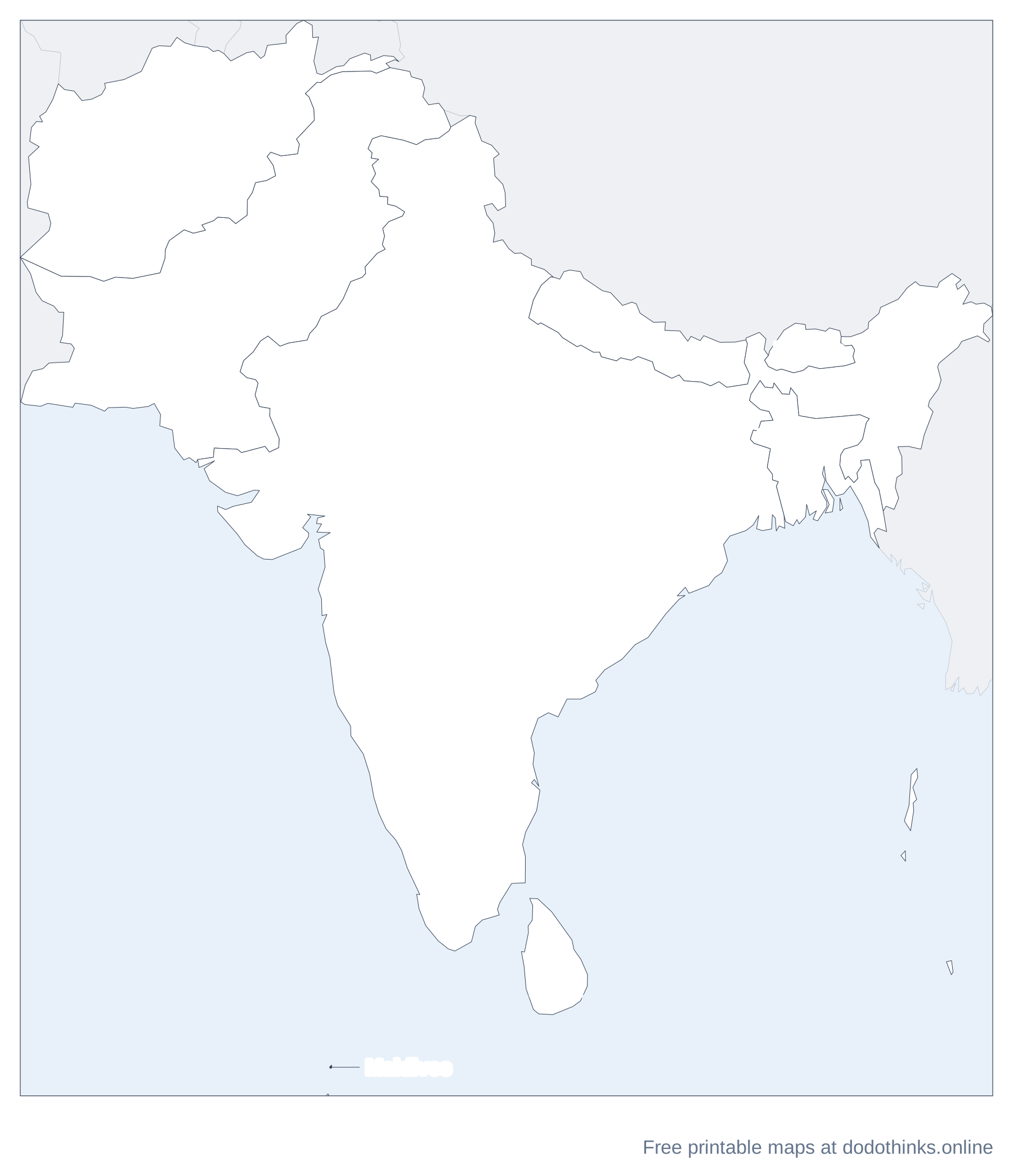
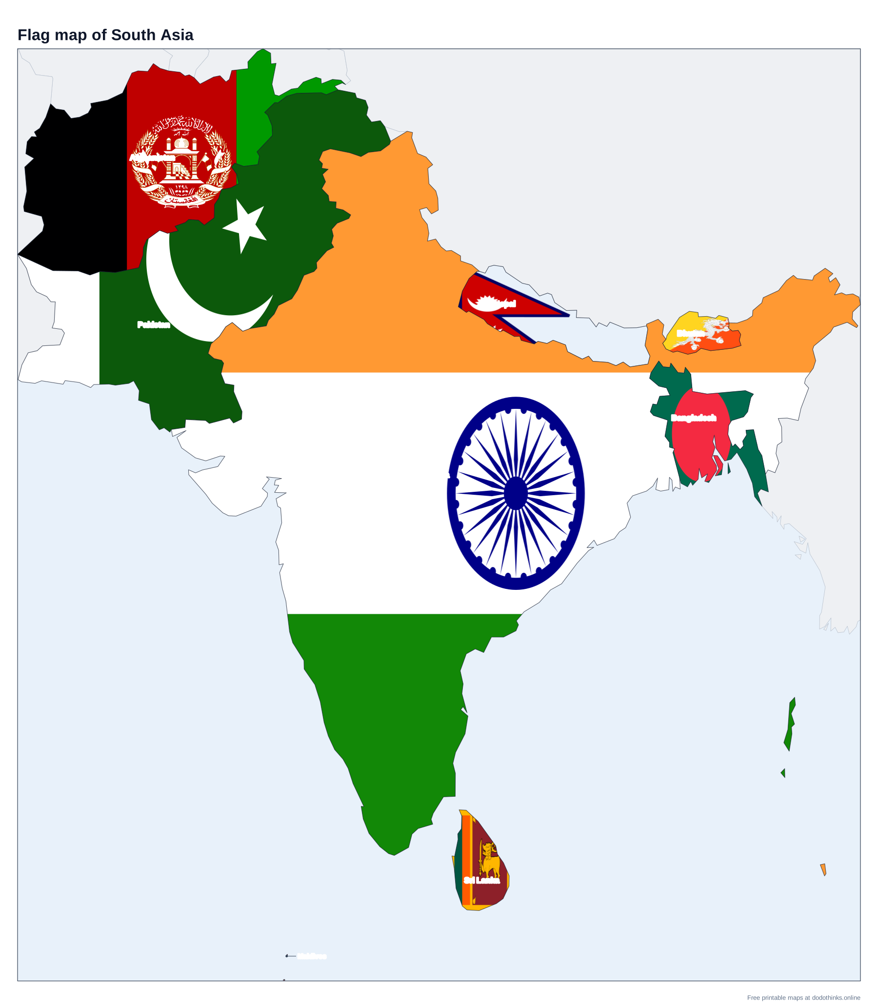
South Asia is eight countries: India, Pakistan, Bangladesh, Nepal, Bhutan, Sri Lanka, the Maldives and Afghanistan, the members of SAARC. Here they are on a labelled map, with a free quiz for the countries, their capitals and the small ones players miss.
- Countries
- 8
- Largest
- India, 3,287,590 km²
- Smallest
- Maldives, 300 km²
- Most people
- India, 1.46 billion
- Rounds
- Countries, capitals, look-alikes
How to Play the quiz
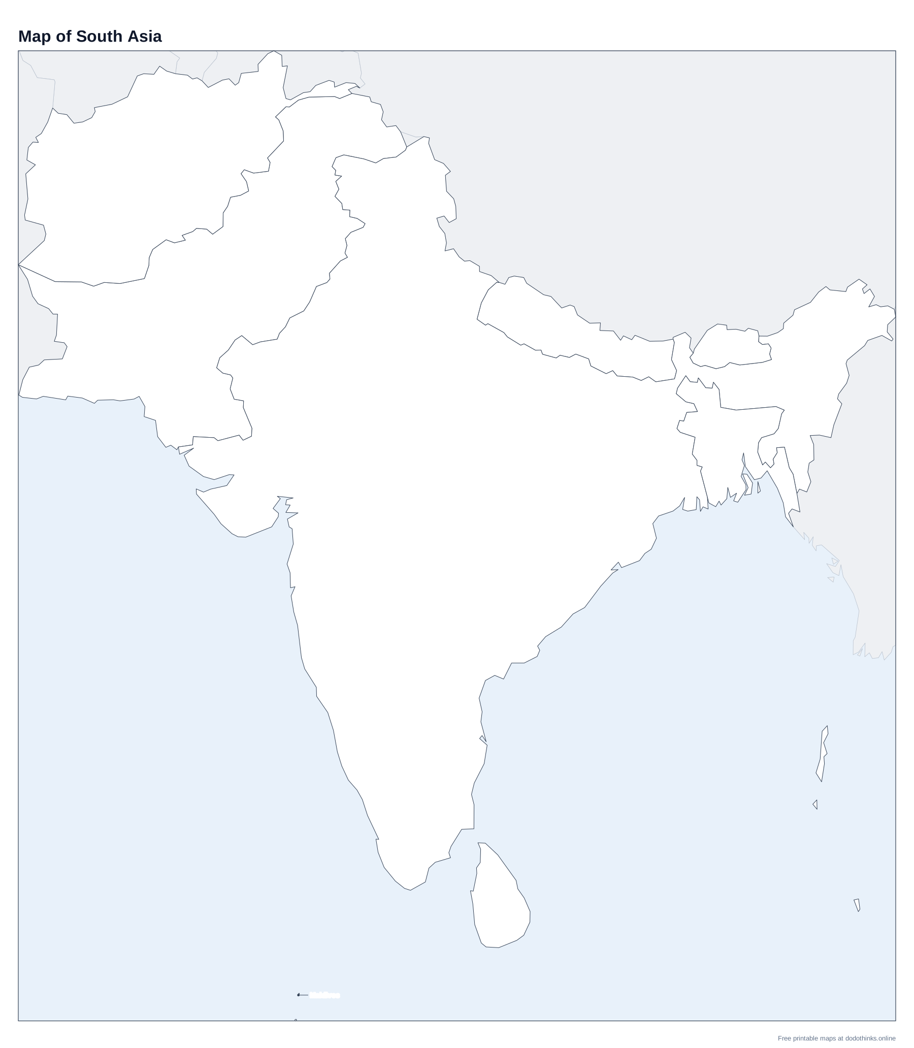
- The labelled map at the top shows every country. Print it, or the blank version to test yourself on paper.
- In Countries, a country is named and you click it on the map. In Capitals, a capital is named and you click its country.
- The Look-alikes round asks only the ones players mix up: Bhutan, Nepal, Bangladesh, Sri Lanka and the Maldives.
- Small countries have a ring so you can tap them on a phone. There is no time limit, and the right country turns green after every answer.
South Asia is the Indian subcontinent and its neighbours, cut off from the rest of Asia by the Himalayas and the Hindu Kush. Its eight countries founded or joined SAARC, the South Asian Association for Regional Cooperation (founded in Dhaka in 1985; Afghanistan joined in 2007).
Nepal, Bhutan and the Small Countries
Nepal and Bhutan are both landlocked on the slopes of the Himalayas, between India and China. Nepal is the bigger one, with Mount Everest on its border with China; Bhutan is smaller and further east. Bangladesh lies on the delta of the Ganges and the Brahmaputra, almost surrounded by India. Sri Lanka is the teardrop-shaped island south of India, and the Maldives, about 1,200 coral islands, are the smallest and lowest-lying country in Asia.
Which Countries Are in South Asia?
This page uses the eight members of SAARC. The UN's "Southern Asia" also includes Iran, which this site puts on the Middle East map. Kashmir, in the north, is divided between India, Pakistan and China, and its borders are disputed; the map draws the lines each country controls.
The Countries of South Asia
In alphabetical order.
| # | Country | Capital | Population | Area |
|---|---|---|---|---|
| 1 | Afghanistan | Kabul | 43.8 million | 652,230 km² |
| 2 | Bangladesh | Dhaka | 175.7 million | 147,570 km² |
| 3 | Bhutan | Thimphu | 796,682 | 38,394 km² |
| 4 | India | New Delhi | 1.46 billion | 3,287,590 km² |
| 5 | Maldives | Malé | 529,676 | 300 km² |
| 6 | Nepal | Kathmandu | 29.6 million | 147,181 km² |
| 7 | Pakistan | Islamabad | 255.2 million | 881,912 km² |
| 8 | Sri Lanka | Colombo | 21.8 million | 65,610 km² |
Frequently Asked Questions
How many countries are in South Asia?
Eight: Afghanistan, Bangladesh, Bhutan, India, the Maldives, Nepal, Pakistan and Sri Lanka.
Which South Asian countries are landlocked?
Afghanistan, Nepal and Bhutan.
What is the capital of Sri Lanka?
Colombo, the largest city, holds most government offices and is the capital in this quiz. The official legislative capital is Sri Jayawardenepura Kotte, a suburb of Colombo.
Which is the most populous country in South Asia?
India, which has also been the most populous country in the world since 2023.
Is the quiz free?
Yes. It runs in your browser, on a phone or a computer, with no download and no account. The printable maps are free too.
Made by Kashif Sulehria in Lahore, Pakistan. Updated November 2, 2026.