
Central Europe Map Quiz at a Glance
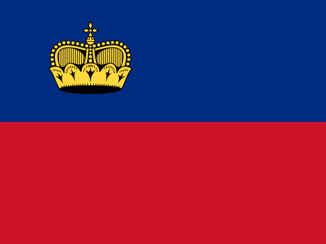
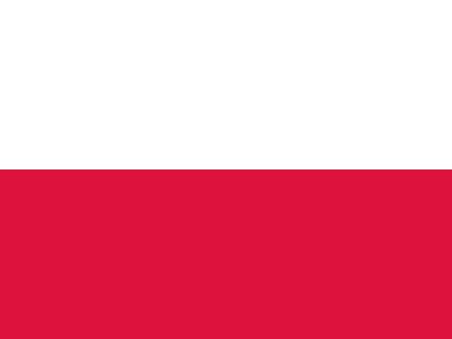
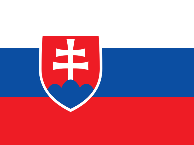
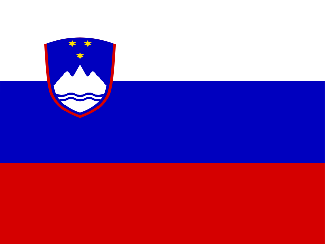
Central Europe is usually counted as nine countries: Austria, Czechia, Germany, Hungary, Liechtenstein, Poland, Slovakia, Slovenia and Switzerland. This page has them on one map, with flags and capitals, and a free quiz with a round for the ones everyone mixes up: Slovakia and Slovenia, Austria and Switzerland.
- Countries
- 9
- Largest
- Germany, 357,114 km²
- Smallest
- Liechtenstein, 160 km²
- Hardest to place
- Slovenia, right only half the time
- Rounds
- Countries, capitals, mix-ups
How to Play the quiz
- Click any country on the map to see its name before you start.
- In Countries, a country is named and you click it. In Capitals, a capital is named and you click its country.
- The Mix-ups round asks only the six countries players confuse most on our Europe map, starting with Slovenia.
- Liechtenstein has a ring so you can tap it on a phone. There is no time limit, and the right country turns green after every answer.
Central Europe is the middle of the continent, from the North Sea and the Baltic down to the Alps and the Danube. It is a historical and cultural region more than an official one: the UN splits these countries between Western, Eastern and Southern Europe, but most of them call themselves Central European.
Slovakia, Slovenia and the Other Mix-ups
On our Europe map, Slovenia is right only 50% of the time, usually taken for Slovakia. Slovakia itself is right 60% of the time, taken for Czechia, and Hungary 62%, taken for Slovakia. Switzerland and Austria are right 70% of the time (Switzerland is taken for Austria, Austria for Czechia). To keep them apart: Slovakia is the one next to Czechia, because they were one country, Czechoslovakia, until 1993; Slovenia is on the Adriatic, south of Austria.
The Visegrád Group
Czechia, Hungary, Poland and Slovakia have worked together since 1991 as the Visegrád Group, named after the Hungarian castle town where it was founded. All four joined the European Union in 2004, together with Slovenia.
Which Countries Are Central European?
There is no official list. The UN puts Austria, Germany, Liechtenstein and Switzerland in Western Europe, Czechia, Hungary, Poland and Slovakia in Eastern Europe, and Slovenia in Southern Europe. But the region shares a history: much of it belonged to the Holy Roman Empire or the Habsburg monarchy, and Austria-Hungary covered a large part of this map until 1918.
The Countries of Central Europe
In alphabetical order.
| # | Country | Capital | Population | Area |
|---|---|---|---|---|
| 1 | Austria | Vienna | 9.2 million | 83,871 km² |
| 2 | Czechia | Prague | 10.9 million | 78,865 km² |
| 3 | Germany | Berlin | 83.5 million | 357,114 km² |
| 4 | Hungary | Budapest | 9.5 million | 93,028 km² |
| 5 | Liechtenstein | Vaduz | 41,024 | 160 km² |
| 6 | Poland | Warsaw | 36.4 million | 312,679 km² |
| 7 | Slovakia | Bratislava | 5.4 million | 49,037 km² |
| 8 | Slovenia | Ljubljana | 2.1 million | 20,273 km² |
| 9 | Switzerland | Bern | 9.1 million | 41,284 km² |
Frequently Asked Questions
What countries are in Central Europe?
Usually Austria, Czechia, Germany, Hungary, Liechtenstein, Poland, Slovakia, Slovenia and Switzerland.
Is Germany in Central or Western Europe?
Both are used. The UN says Western Europe; in German, and in many geography books, Germany is the heart of Central Europe (Mitteleuropa).
What is the difference between Slovakia and Slovenia?
Slovakia is landlocked, between Czechia, Poland, Ukraine, Hungary and Austria, with Bratislava as its capital. Slovenia is on the Adriatic, between Italy, Austria, Hungary and Croatia, with Ljubljana as its capital.
What is the capital of Slovakia?
Bratislava, on the Danube, right next to the Austrian and Hungarian borders. Slovenia's capital is Ljubljana.
Is the quiz free?
Yes. It runs in your browser, on a phone or a computer, with no download and no account.
Made by Kashif Sulehria in Lahore, Pakistan. Updated October 30, 2026.