


Southeast Asia Map Quiz at a Glance
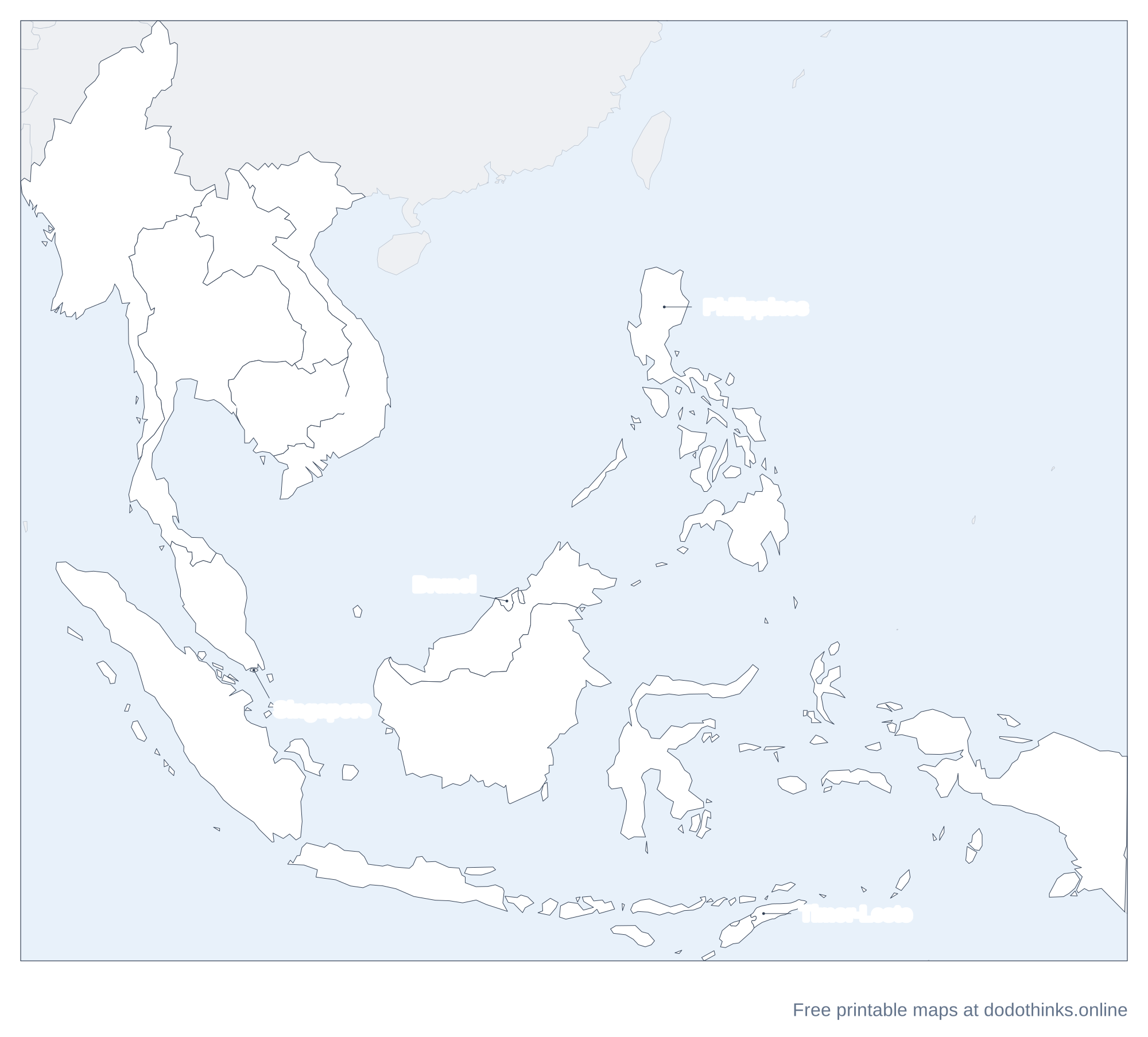
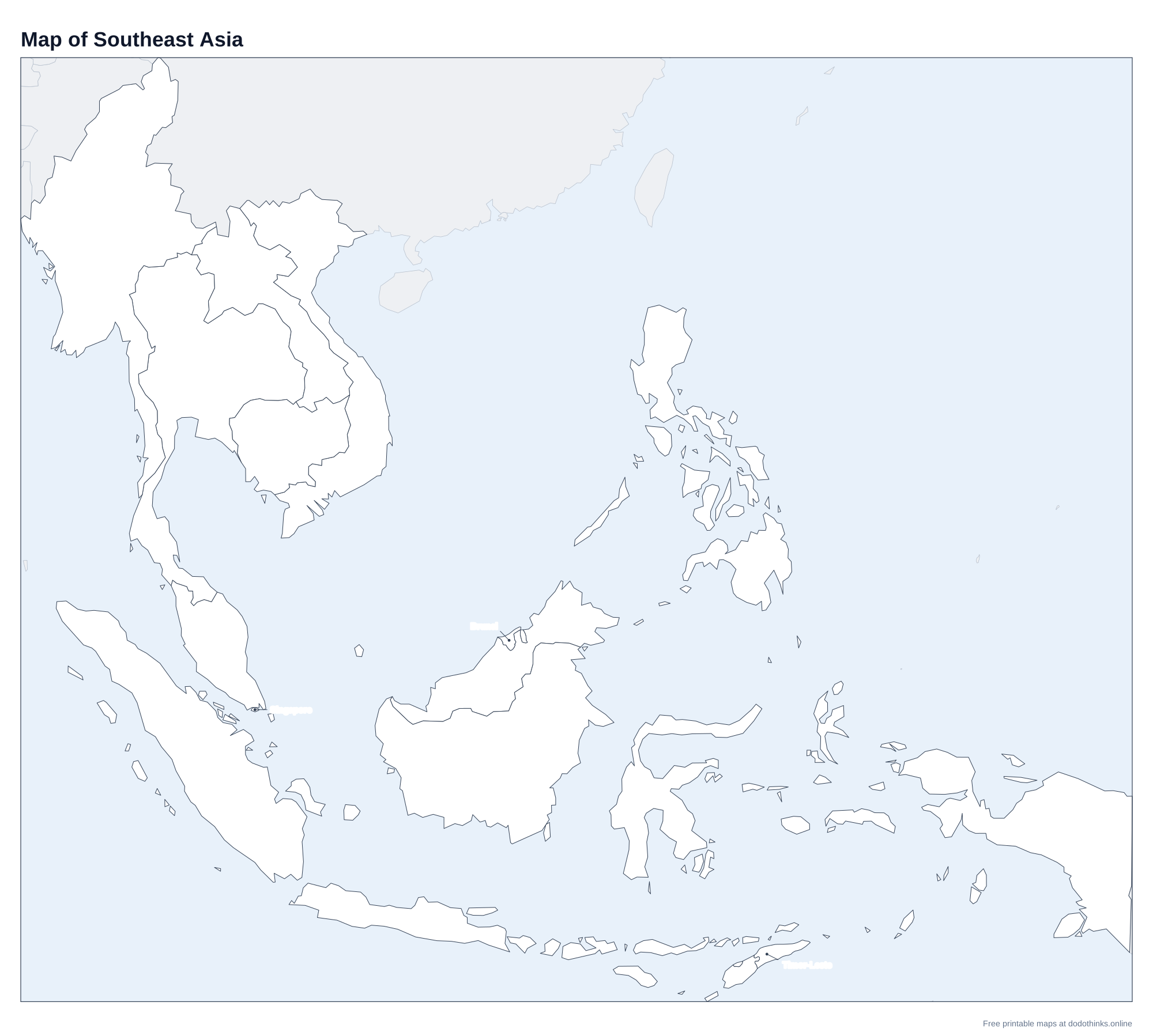
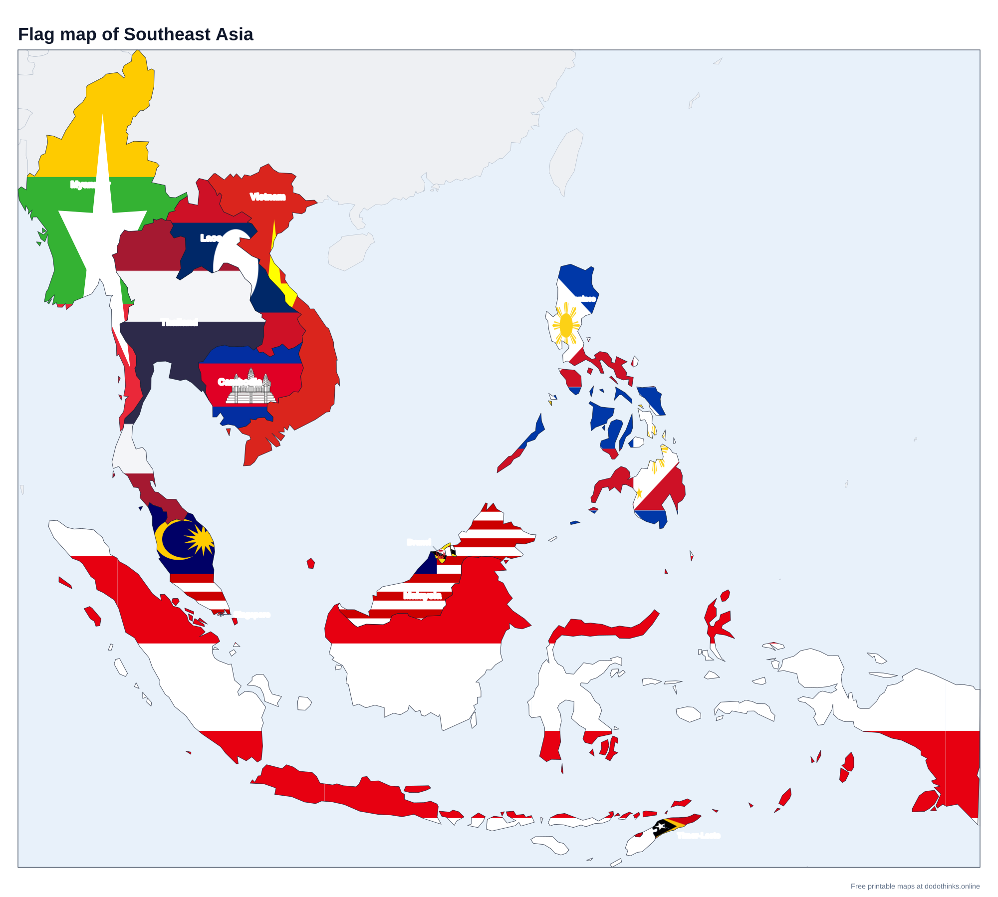
Southeast Asia has 11 countries: the mainland states of Myanmar, Thailand, Laos, Cambodia and Vietnam, and the island and peninsula states of Malaysia, Singapore, Indonesia, Brunei, the Philippines and Timor-Leste. Here they are on a labelled map, with a free quiz for the countries and their capitals.
- Countries
- 11
- Largest
- Indonesia, 1,904,569 km²
- Smallest
- Singapore, 710 km²
- Most people
- Indonesia, 285.7 million
- Rounds
- Countries, capitals, look-alikes
How to Play the quiz
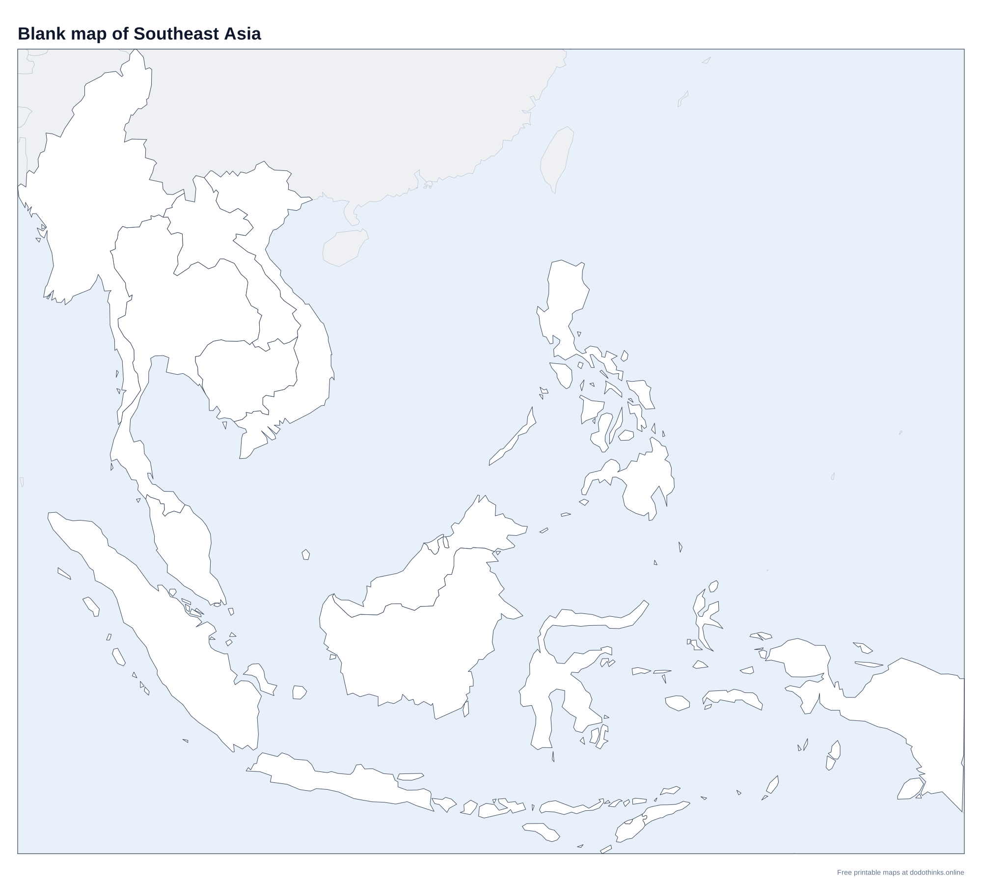
- The labelled map at the top shows every country. Print it, or the blank version to test yourself on paper.
- In Countries, a country is named and you click it on the map. In Capitals, a capital is named and you click its country.
- The Look-alikes round asks only the ones players mix up: Laos, Cambodia, Vietnam and the other look-alikes.
- Small countries have a ring so you can tap them on a phone. There is no time limit, and the right country turns green after every answer.
Southeast Asia lies south of China and east of India, between the Indian and Pacific Oceans. Its countries are the members of ASEAN, the Association of Southeast Asian Nations, which Timor-Leste joined as its 11th member in 2025.
Laos, Cambodia, Vietnam and the Other Mix-ups
Laos is the landlocked one, between Thailand and Vietnam. Cambodia sits south of Laos, on the Gulf of Thailand, around the great lake of Tonlé Sap. Vietnam is the long, thin S along the coast from China to the Mekong Delta. Brunei is the small country on the north coast of Borneo, split in two by Malaysia, and Timor-Leste is the eastern half of the island of Timor, whose western half belongs to Indonesia.
Mainland and Maritime Southeast Asia
Geographers divide the region in two. Mainland Southeast Asia (the Indochinese peninsula) is Myanmar, Thailand, Laos, Cambodia and Vietnam, crossed by the Mekong. Maritime Southeast Asia is Malaysia, Singapore, Indonesia, Brunei, the Philippines and Timor-Leste. Borneo, the third-largest island in the world, is shared by three of them: Indonesia, Malaysia and Brunei.
The Countries of Southeast Asia
In alphabetical order.
| # | Country | Capital | Population | Area |
|---|---|---|---|---|
| 1 | Brunei | Bandar Seri Begawan | 466,330 | 5,765 km² |
| 2 | Cambodia | Phnom Penh | 17.8 million | 181,035 km² |
| 3 | Indonesia | Jakarta | 285.7 million | 1,904,569 km² |
| 4 | Laos | Vientiane | 7.9 million | 236,800 km² |
| 5 | Malaysia | Kuala Lumpur | 36 million | 330,803 km² |
| 6 | Myanmar | Naypyidaw | 54.9 million | 676,578 km² |
| 7 | Philippines | Manila | 116.8 million | 342,353 km² |
| 8 | Singapore | Singapore | 6.1 million | 710 km² |
| 9 | Thailand | Bangkok | 71.6 million | 513,120 km² |
| 10 | Timor-Leste | Dili | 1.4 million | 14,874 km² |
| 11 | Vietnam | Hanoi | 101.6 million | 331,212 km² |
Frequently Asked Questions
How many countries are in Southeast Asia?
Eleven: Brunei, Cambodia, Indonesia, Laos, Malaysia, Myanmar, the Philippines, Singapore, Thailand, Timor-Leste and Vietnam.
Which Southeast Asian country is landlocked?
Only Laos. It borders China, Myanmar, Thailand, Cambodia and Vietnam, and the Mekong runs along much of its border with Thailand.
Is Papua New Guinea in Southeast Asia?
No. It shares the island of New Guinea with Indonesia, but it is counted with Oceania. On the map it is grey.
What is the capital of Myanmar?
Naypyidaw, a planned city that replaced Yangon as the capital in 2005–2006. Yangon is still the largest city.
Is the quiz free?
Yes. It runs in your browser, on a phone or a computer, with no download and no account. The printable maps are free too.
Made by Kashif Sulehria in Lahore, Pakistan. Updated November 2, 2026.