


East Asia Map Quiz at a Glance
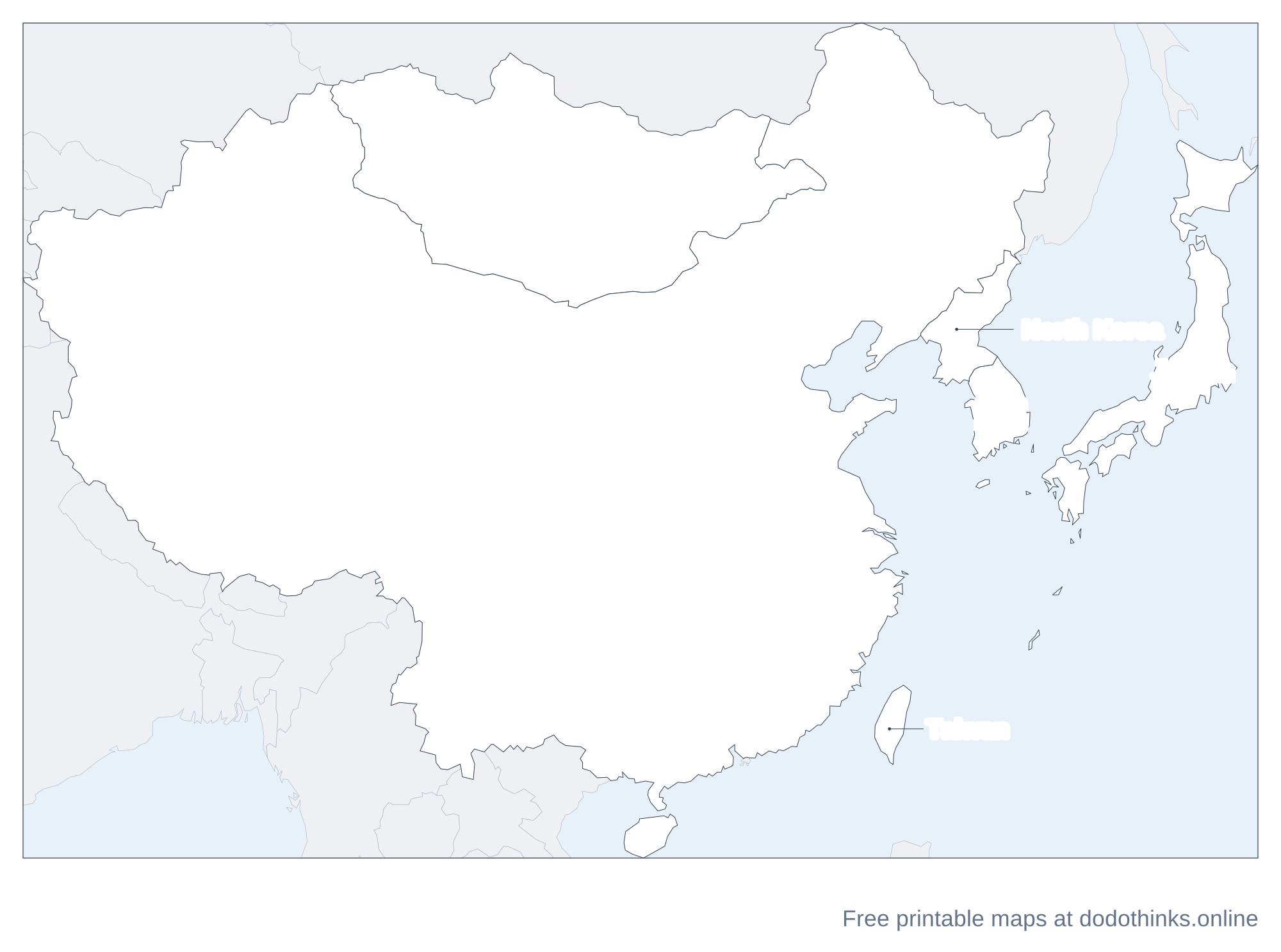
East Asia is China, Japan, Mongolia, North Korea and South Korea, with Taiwan, which the quiz asks as a place, as the Asia map does. This page has them on a labelled map, then a free quiz for the countries and capitals, with a round for the two Koreas.
- Countries
- 6
- Largest
- China, 9,706,961 km²
- Smallest
- Taiwan, 36,193 km²
- Most people
- China, 1.41 billion
- Rounds
- Countries, capitals, look-alikes
How to Play the quiz
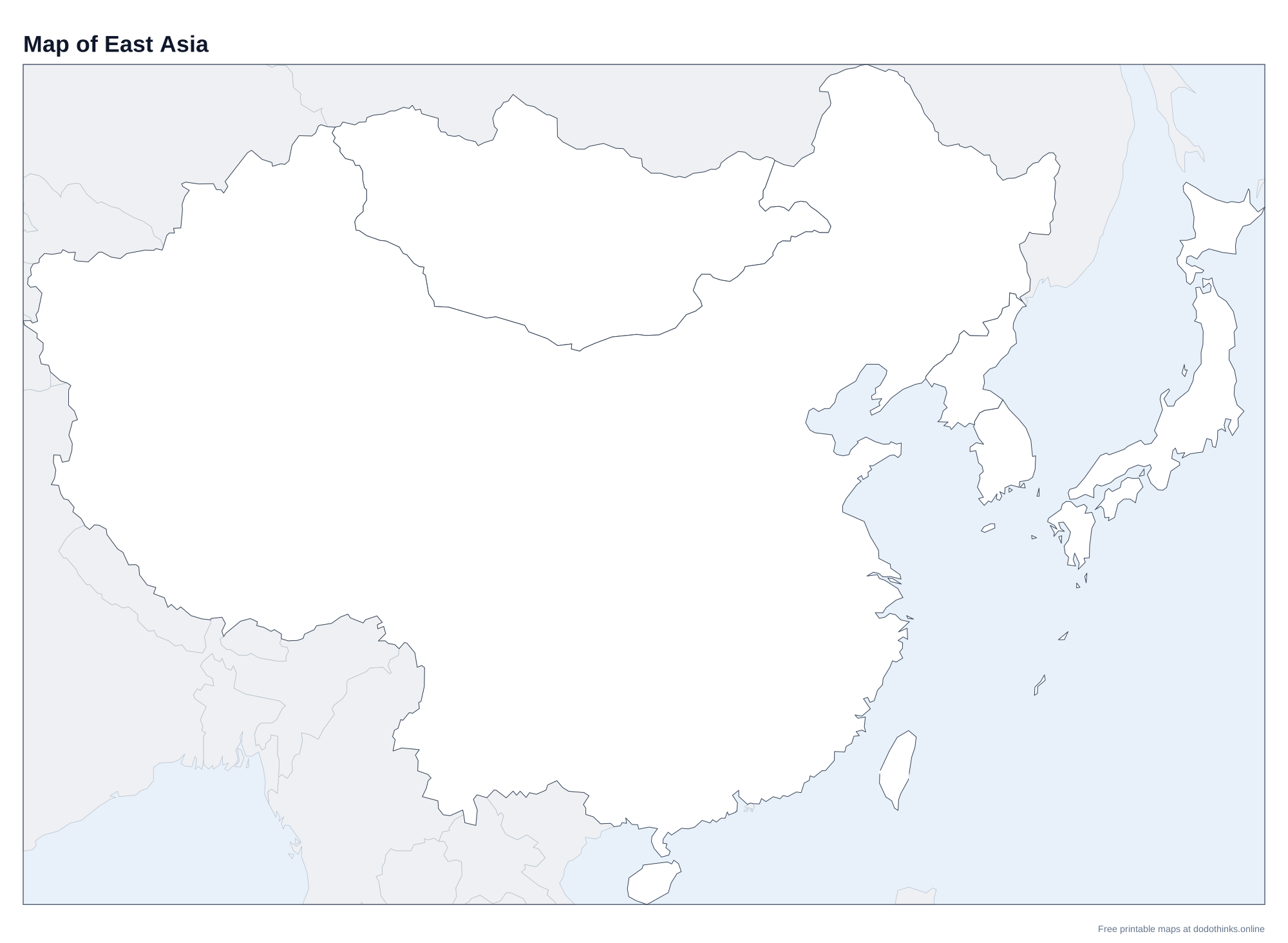
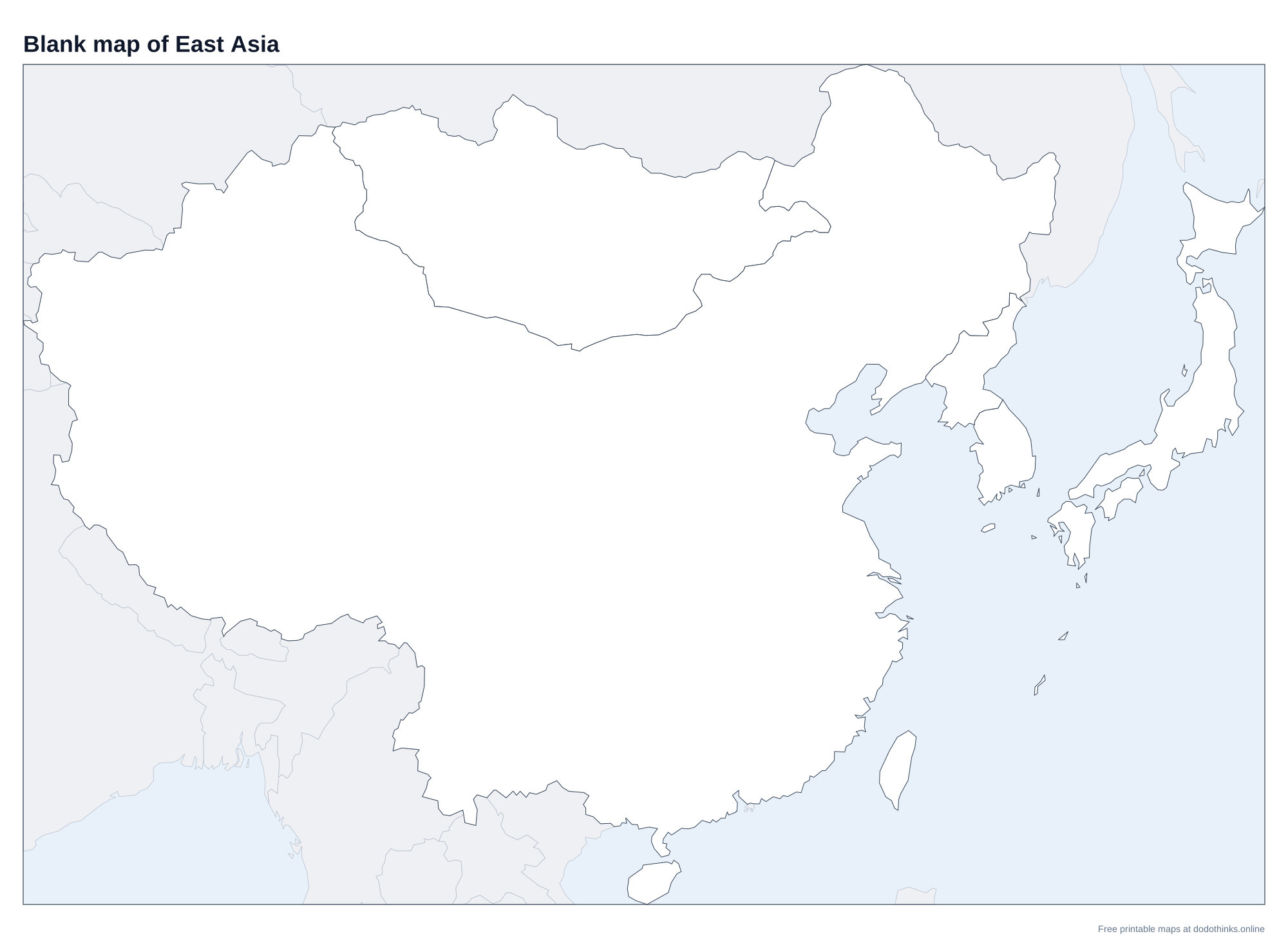
- The labelled map at the top shows every country. Print it, or the blank version to test yourself on paper.
- In Countries, a country is named and you click it on the map. In Capitals, a capital is named and you click its country.
- The Look-alikes round asks only the ones players mix up: North Korea, South Korea, Taiwan and Mongolia.
- Small countries have a ring so you can tap them on a phone. There is no time limit, and the right country turns green after every answer.
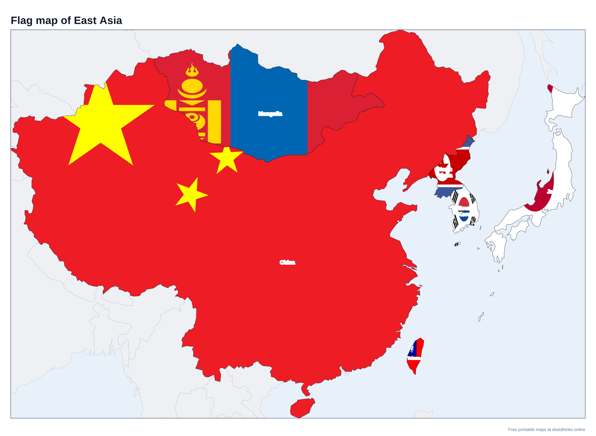
East Asia covers the eastern end of the continent, from the Gobi Desert and the Tibetan Plateau to the Pacific. China takes up most of the map; the rest is Mongolia to its north, the Korean Peninsula to its east, and the islands of Japan and Taiwan offshore.
The Two Koreas
The Korean Peninsula has been divided since the end of the Korean War in 1953, along a demilitarised zone near the 38th parallel. North Korea, capital Pyongyang, borders China and, for a few kilometres, Russia. South Korea, capital Seoul, is the southern half, about 50 km from the border.
Taiwan, Hong Kong and Macau
Taiwan has been governed separately from mainland China since 1949. The People's Republic of China claims it, and only a few countries recognise it officially, but it has its own government, currency and flag; this quiz asks it as a place, as our Asia map does. Hong Kong and Macau are special administrative regions of China, so they are part of China on the map.
The Countries of East Asia
In alphabetical order.
| # | Country | Capital | Population | Area |
|---|---|---|---|---|
| 1 | China | Beijing | 1.41 billion | 9,706,961 km² |
| 2 | Japan | Tokyo | 123.4 million | 377,930 km² |
| 3 | Mongolia | Ulan Bator | 3.6 million | 1,564,110 km² |
| 4 | North Korea | Pyongyang | 26.6 million | 120,538 km² |
| 5 | South Korea | Seoul | 51.7 million | 100,210 km² |
| 6 | Taiwan | Taipei | 23.4 million | 36,193 km² |
Frequently Asked Questions
What countries are in East Asia?
China, Japan, Mongolia, North Korea and South Korea, with Taiwan. Some definitions add the Russian Far East.
Is Mongolia in East Asia or Central Asia?
The UN counts it in East Asia. It is landlocked between Russia and China, and is often grouped with Central Asia for its steppe and history.
What is the capital of Mongolia?
Ulaanbaatar (also written Ulan Bator), home to almost half of Mongolia's people. It is often called the coldest capital city in the world.
What are the four main islands of Japan?
Honshu, Hokkaido, Kyushu and Shikoku. Tokyo is on Honshu, the biggest.
Is the quiz free?
Yes. It runs in your browser, on a phone or a computer, with no download and no account. The printable maps are free too.
Made by Kashif Sulehria in Lahore, Pakistan. Updated November 2, 2026.