
The European Countries People Can't Find on a Map (11,000 Answers)
October 26, 2026 · 4 min read
The Europe map is the most played game on DodoThinks. Since late September 2026, players have answered 11,264 questions on it: a country is named, and you click it on a blank map of Europe. Overall, players got 73% right.
That average hides a big gap. Some countries are found nine times out of ten. Others are missed about half the time. Here is which is which, and what people click when they get it wrong.
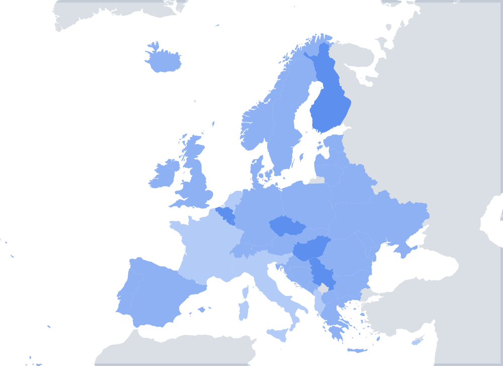
The 12 hardest countries on the Europe map
Every country below was asked between 276 and 315 times, so these are solid numbers.
| Country | Answers | Found |
|---|---|---|
| Slovenia | 289 | 49% |
| Bulgaria | 304 | 52% |
| Moldova | 305 | 53% |
| Serbia | 292 | 54% |
| Montenegro | 293 | 57% |
| North Macedonia | 297 | 61% |
| Slovakia | 276 | 61% |
| Hungary | 291 | 62% |
| Bosnia and Herzegovina | 304 | 64% |
| Albania | 313 | 65% |
| Estonia | 296 | 67% |
| Latvia | 281 | 68% |
Nine of the twelve are in the Balkans or Central Europe. The other three are the Baltic states. Western Europe barely appears.
The easiest
The United Kingdom (93%), Germany (91%), Italy (90%), Ukraine (90%) and France (89%) are the easiest. They are big, and Italy and the UK have shapes almost everyone knows.
What people click instead
The wrong clicks are more interesting than the right ones, because they show exactly what people confuse. These are the clearest mix-ups:
| Asked for | Clicked instead | Times |
|---|---|---|
| Bulgaria | Romania | 28 |
| Cyprus | Greece | 28 |
| Finland | Norway | 27 |
| Estonia | Latvia | 24 |
| Latvia | Estonia | 22 |
| Finland | Sweden | 22 |
| Bulgaria | Hungary | 21 |
| Latvia | Lithuania | 21 |
| Bosnia and Herzegovina | Serbia | 21 |
| Lithuania | Latvia | 20 |
Bulgaria and Romania
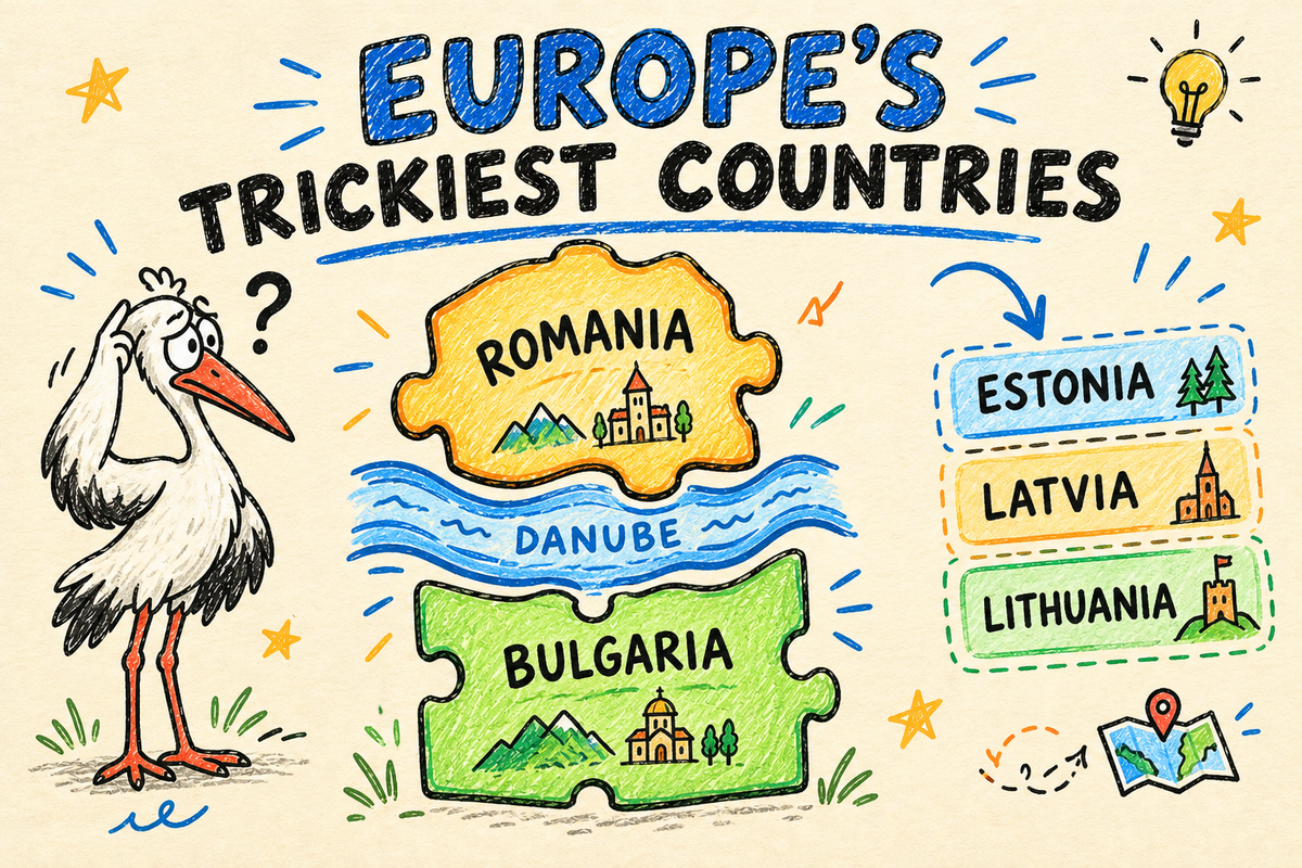
Bulgaria's most common wrong answer is Romania, its northern neighbour. The two have similar sizes and sit together on the Black Sea coast. The easy way to keep them apart: the Danube forms most of the border. Romania is north of the river and much rounder; Bulgaria is south of it and looks like a rectangle leaning on the Black Sea. Bulgaria also gets clicked as Hungary 21 times, which suggests some players are just looking in the wrong part of Europe.
The Baltic states
Estonia, Latvia and Lithuania were confused with each other 87 times in total. They are the same size and stacked on top of each other. Learn them in alphabetical order from the top: E, L, L from north to south. Estonia is at the top, near Finland. Lithuania is at the bottom, next to Poland and Belarus.
Cyprus
Cyprus is an island in the far east of the Mediterranean, south of Turkey, but 28 players clicked Greece instead. Cyprus is mostly Greek-speaking and in the EU, so it feels like it should be near Greece. On the map it is much closer to Syria and Lebanon.
Finland, Norway and Sweden
Finland was clicked as Norway 27 times and as Sweden 22 times. The fix: Norway is the long strip along the Atlantic coast, Sweden is in the middle, and Finland is on the east side, bordering Russia.
Why the Balkans are so hard
Slovenia, Serbia, Montenegro, North Macedonia, Bosnia and Herzegovina and Albania are all in our bottom ten. The Balkans pack many small countries with irregular borders into a small space, and several of them did not exist as separate countries before the 1990s. Many people learned a map of Europe that showed Yugoslavia.
A good order to learn them, from the north-west down: Slovenia, Croatia, Bosnia and Herzegovina, Serbia, Montenegro, Kosovo, North Macedonia, Albania. Slovenia is the small one touching Italy and Austria. Montenegro is the small one on the coast between Bosnia and Albania.
Slovenia, the hardest country on the whole map, also has a name that is easy to mix up with Slovakia. Remember that Slovenia touches the Adriatic Sea and Slovakia does not.
Moldova
Moldova was found only 53% of the time. It is a small, landlocked country squeezed between Romania and Ukraine, and many players do not expect a separate country there. If you can find Romania, look at its north-east border: Moldova is the narrow country right behind it.
How to get better at the Europe map
- Learn by group, not one country at a time. The Baltic states, the Nordic countries, Benelux, the Balkans.
- Use rivers and coasts. The Danube separates Romania and Bulgaria. The Adriatic tells you Slovenia from Slovakia.
- Play the hard ones on purpose. Our Europe map quiz gives you every country on the map. Play a round, note the ones you miss, and play again.
- Print a blank map. Our printable maps include a blank map of Europe you can fill in by hand.
If you can find all twelve countries in the table above, you know the map of Europe better than most people who play our game.
About this data
These are answers given on DodoThinks between 23 September and 26 October 2026, from players in many countries. The Europe map in this game shows 38 countries; microstates like Monaco and San Marino are too small to click at this scale and are not asked. Want to see where you stand? Play the Europe map quiz.