
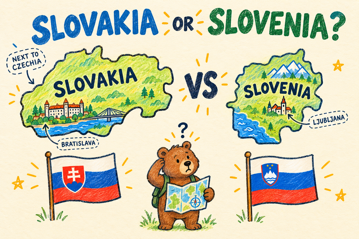
Slovakia vs Slovenia: How to Tell Them Apart on a Map
October 30, 2026 · 4 min read
Slovakia and Slovenia are the most famous mix-up in European geography. The names are one letter pair apart, both countries are small, both joined the EU in 2004 and both fly a white, blue and red flag with a coat of arms. Our answer data shows how real the confusion is.
On our Europe map quiz, Slovenia has been asked 442 times since late September 2026 and found only 49% of the time. That makes it the hardest country on the whole map. Slovakia does a little better: 423 answers, 60% right.
What players click instead
When a player is asked for Slovenia and misses, these are the countries they click most:
| Asked for | Clicked instead | Times |
|---|---|---|
| Slovenia | Slovakia | 30 |
| Slovenia | Hungary | 29 |
| Slovenia | Austria | 27 |
| Slovenia | Croatia | 20 |
| Slovakia | Hungary | 23 |
| Slovakia | Czechia | 23 |
| Slovakia | Slovenia | 15 |
| Slovakia | Moldova | 11 |
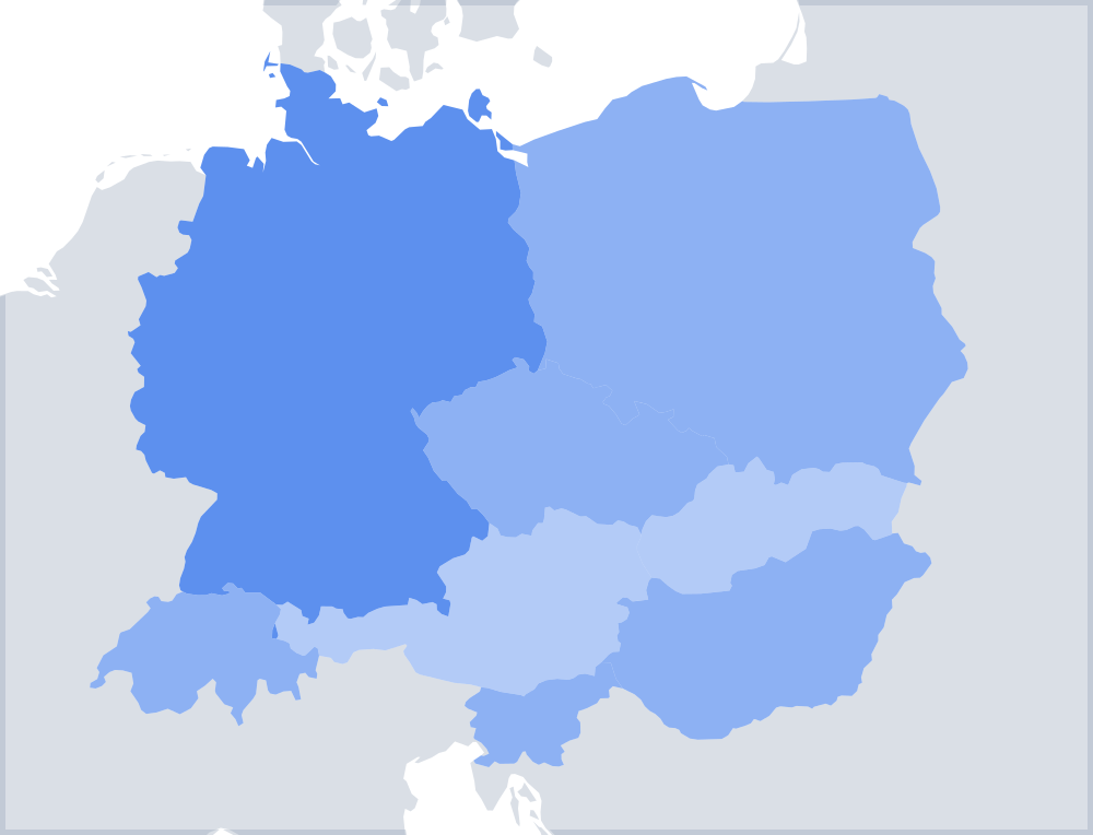
Two things stand out. People looking for Slovenia click Slovakia twice as often as the other way round, so the smaller, less famous country loses out. And many wrong clicks land on the neighbours, Hungary and Austria, which sit between the two. Players know the right corner of Europe but not which small country is which.
Where each one is
The two countries do not touch. Austria and Hungary lie between them, and their capitals are roughly 300 km apart.
| Slovakia | Slovenia | |
|---|---|---|
| Capital | Bratislava | Ljubljana |
| Coast | None, landlocked | Yes, a short stretch on the Adriatic |
| Neighbours | Czechia, Poland, Ukraine, Hungary, Austria | Italy, Austria, Hungary, Croatia |
| Used to be part of | Czechoslovakia | Yugoslavia |
| Independent since | 1993 | 1991 |
| Size | About 49,000 km² | About 20,000 km² |
| In its own language | Slovensko | Slovenija |
Slovakia is the eastern half of the old Czechoslovakia. It sits directly east of Czechia, south of Poland, with Hungary along its southern border. Slovenia sits at the top of the old Yugoslavia, south of Austria, between Italy and Croatia, with a small piece of coast near Trieste.
A trick that sticks
Think of the countries they used to belong to:
- Slovakia goes with Czechoslovakia. Find Czechia, and Slovakia is the country right next to it.
- Slovenia goes with Yugoslavia, the country that also held Croatia, Bosnia and Serbia. Find Croatia, and Slovenia is the little country on top of it, touching the sea.
The last line in the table shows why even Slovaks and Slovenians joke about it: in Slovak, Slovakia is Slovensko, which sounds a lot like Slovenia.
The capitals
The capitals are mixed up less often than the maps, but they still trip players. In our capital quizzes, the Slovakia question is answered right 78% of the time and the Slovenia question 66%.
- Bratislava, the capital of Slovakia, is on the Danube, right where Slovakia meets Austria and Hungary. Vienna is only about 55 km away. Think "B for Bratislava, like Budapest, further down the same river".
- Ljubljana, the capital of Slovenia, sits in the middle of the country, an easy drive from the Alps and the sea.
The flags
Both flags are horizontal white, blue and red stripes with a coat of arms near the flagpole, the same colours as Russia's flag.
- Slovakia: a white double cross standing on three blue hills, in a red shield with a white edge. The shield is large and spans the stripes.
- Slovenia: Mount Triglav in white, with wavy blue lines for the sea and rivers and three gold stars above, in a blue shield with a red edge. The shield is smaller and sits higher, in the top corner.
Interestingly, the flags are not the problem. In our flag games the two are almost never swapped for each other. It is the names and the map that cause the trouble.
Practise the mix-ups
Our Central Europe map quiz has a Mix-ups round built from these numbers: Slovenia, Slovakia, Hungary, Switzerland, Austria and Czechia, the six countries players confuse most in this part of Europe. Play it a couple of times and the difference sticks.
If you want more, the Balkans map quiz puts Slovenia next to the other former Yugoslav countries, and the Eastern Europe map quiz does the same for Slovakia and its neighbours. For the full picture of which countries people can't find, see The European Countries People Can't Find on a Map.
The numbers come from anonymous answers on DodoThinks map, flag and capital games between 24 September and 30 October 2026.