
The US States People Can't Find on a Map
October 26, 2026 · 3 min read
The 50 states are one of the most played topics on DodoThinks. Between the full 50 states map quiz and our regional quizzes, players have answered more than 1,500 state questions since late September 2026.
You might expect the small New England states to be the hardest. They are not. The hardest part of the US map is the South-east.
The hardest states to find
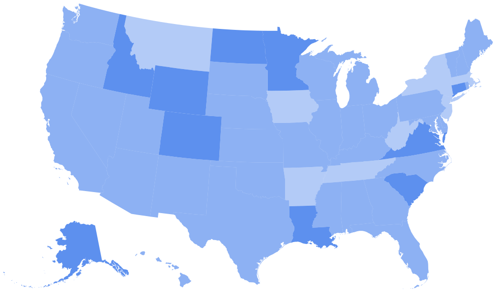
These are the lowest scores across all our US map games, counting states asked at least 16 times.
| State | Found |
|---|---|
| South Carolina | 31% |
| Georgia | 35% |
| Kentucky | 38% |
| North Carolina | 40% |
| Virginia | 42% |
| Nebraska | 45% |
| Minnesota | 47% |
| Alabama | 52% |
| West Virginia | 53% |
| Mississippi | 53% |
| Iowa | 53% |
| Missouri | 55% |
| Colorado | 56% |
The easiest
Hawaii (97%) and Alaska (89%) are easy because they sit apart from the rest. Maine (90%) is easy because it is the big state at the top right corner. New York (88%) and South Dakota (87%) round out the top five, with California and Oregon (85% each) close behind.
Why the South-east is so hard
Most of our hardest states are in the South-east, and on our Southeast states quiz, players get only about a third right. The states there are similar in size, there are many of them, and none has an outline as distinctive as Florida's or Texas's.
Here is a quick way to build the region from the coast up:
- Florida is the peninsula. Easy.
- Georgia is directly above Florida. Alabama is to its left, and Mississippi to the left of that, along the Mississippi River.
- South Carolina is the small triangle above Georgia on the Atlantic coast. North Carolina is the long state above it.
- Virginia is above North Carolina. West Virginia is the irregular state to its north-west, and Kentucky is to the west of both.
- Tennessee is the long, thin state under Kentucky, running from North Carolina to the Mississippi.
The Carolinas follow a simple rule: North Carolina is north of South Carolina, and it is the bigger and longer of the two.
The mix-ups
| Asked for | Clicked instead | Times |
|---|---|---|
| Colorado | Wyoming | 7 |
| Maryland | Delaware | 5 |
| New Hampshire | Maine | 4 |
| New Hampshire | Vermont | 4 |
| Minnesota | Michigan | 4 |
| Massachusetts | Rhode Island | 4 |
Colorado and Wyoming
Two big rectangles, one on top of the other. Wyoming is on top, bordering Montana. Colorado is below, bordering New Mexico. If it helps: Colorado touches the "Four Corners" with Utah, Arizona and New Mexico, Wyoming does not.
Vermont and New Hampshire
These two look like mirror images: one is wide at the top, the other wide at the bottom. Vermont is on the left (west), wider at the top. New Hampshire is on the right, wider at the bottom, and it has a tiny piece of Atlantic coast.
Minnesota and Michigan
Both start with M and both sit on the Great Lakes. Minnesota is in the north of the Midwest, west of Lake Superior. Michigan is the one shaped like a mitten, plus its Upper Peninsula, surrounded by the Great Lakes.
Nebraska
Nebraska is missed more than half the time. It is the state directly above Kansas, with a panhandle sticking out to the west and the Missouri River as its eastern border. Iowa is east of it, across that river.
Practise by region
Learning 50 states at once is hard. It is much easier one region at a time:
- Southeast states quiz, the hardest region
- Northeast states quiz
- Midwest states quiz
- Western states quiz
- Southwest states quiz
Then try the full 50 states map quiz. When you know where they are, move on to state capitals or state flags.
About this data
These numbers combine answers from all US state map games on DodoThinks between 27 September and 26 October 2026: the full 50 states map and the regional maps. States with fewer than 16 answers are left out of the tables.