
Printable Map of Canada
All 13 provinces and territories, free to print or download. Pick a style below.
⬇ Download
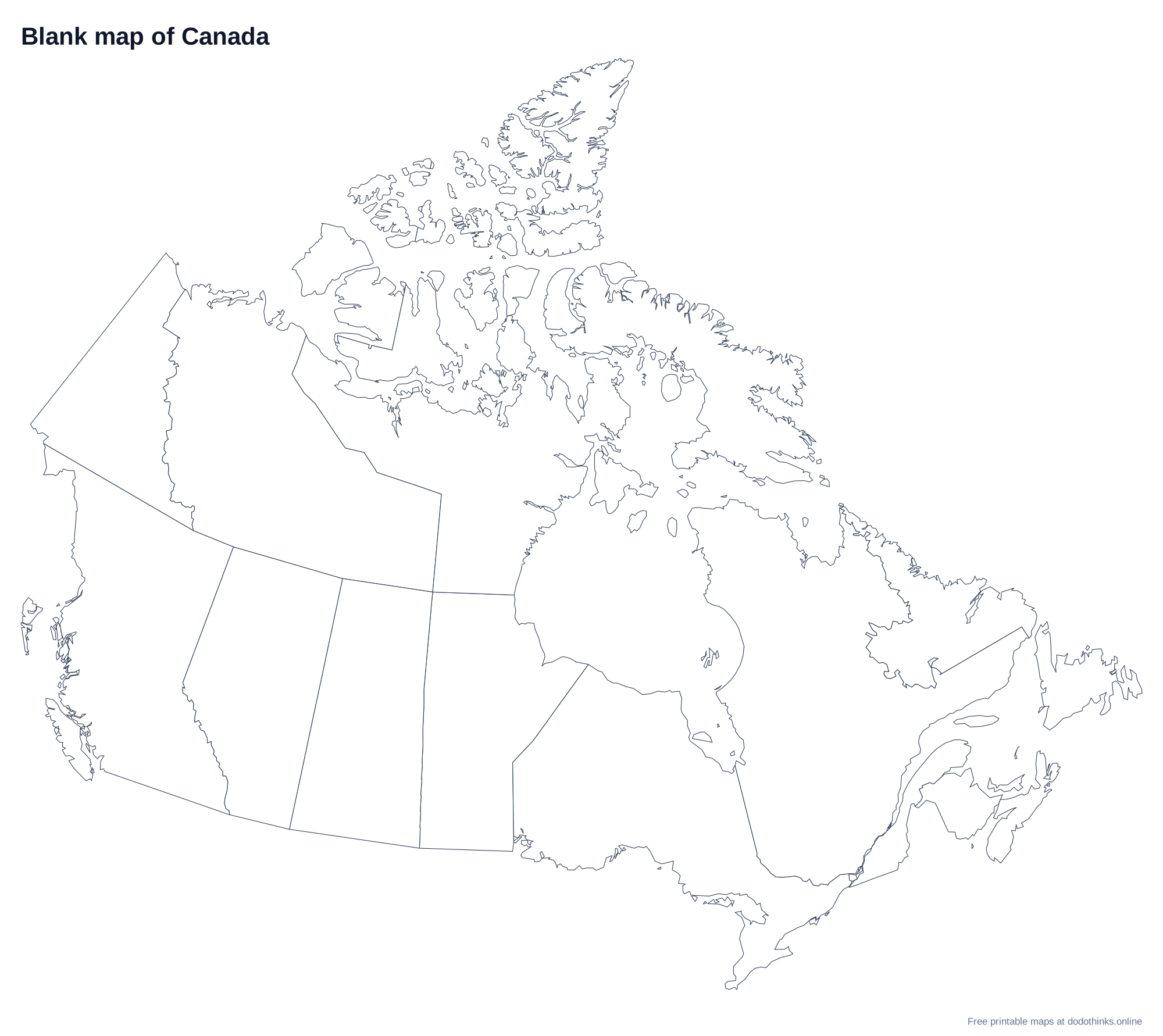
About the Map of Canada
Canada is divided into 10 provinces and 3 territories. The territories, Yukon, the Northwest Territories and Nunavut, cover the far north, and Nunavut alone is about a fifth of the country. Quebec is the largest province and Prince Edward Island the smallest. Ottawa, the capital, is in Ontario, right on the border with Quebec.
Tips for Learning the Provinces and territories
- Learn the provinces from west to east: British Columbia, Alberta, Saskatchewan, Manitoba, Ontario and Quebec, then the four Atlantic provinces.
- The Atlantic provinces are New Brunswick, Nova Scotia, Prince Edward Island, and Newfoundland and Labrador, which is part island and part mainland.
- Alberta and Saskatchewan are the only two provinces with no coastline.
How to Use These Maps
- Study: print the blank map and label it from memory, then check it against the map with names.
Ready to Test Yourself?
Once you've studied the map, take the click-the-map quiz.
Provinces and territories on the Map of Canada
Alberta, British Columbia, Manitoba, New Brunswick, Newfoundland and Labrador, Northwest Territories, Nova Scotia, Nunavut, Ontario, Prince Edward Island, Quebec, Saskatchewan, Yukon.
Frequently Asked Questions
Is the printable map of Canada free?+
Yes. Every version of the map of Canada, with all 13 provinces and territories, is free to print or download, with no sign-up and no watermark beyond a small credit line.
Which versions can I print?+
Two: a blank outline map to fill in, and a map with every name. Small provinces and territories with no room for a label are numbered and listed in a key under the map.
Can I download the map of Canada as an image?+
Yes. Choose a style, then Download: PNG or JPEG for an image, or SVG for a file of Canada that stays sharp at any size, from a worksheet to a wall poster.
How do I save the map as a PDF?+
Choose a style, click "Print / Save as PDF", and in the print dialog pick "Save as PDF" as the destination.
Can I use the map of Canada in the classroom?+
Yes. Print as many blank copies as your class needs: students label the provinces and territories from memory and check their work against the map with names. The maps are free for personal and classroom use.