
Printable Map of Mexico
All 32 states, free to print or download. Pick a style below.
⬇ Download
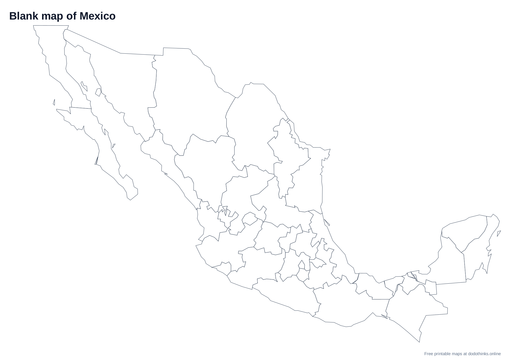
About the Map of Mexico
Mexico has 32 federal entities: 31 states and Mexico City, the capital, which became an entity of its own in 2016. Chihuahua is the largest state and Tlaxcala the smallest. The long Baja California peninsula in the northwest holds two states, and the Yucatán Peninsula in the southeast holds three: Yucatán, Campeche and Quintana Roo.
Tips for Learning the States
- Learn the six states along the US border first, from west to east: Baja California, Sonora, Chihuahua, Coahuila, Nuevo León and Tamaulipas.
- Around Mexico City the states are small and close together. Learn them as one cluster: the State of Mexico, Morelos, Puebla, Tlaxcala, Hidalgo and Querétaro.
- Oaxaca and Chiapas fill the far south, with Chiapas on the border with Guatemala.
How to Use These Maps
- Study: print the blank map and label it from memory, then check it against the map with names.
Ready to Test Yourself?
Once you've studied the map, take the click-the-map quiz.
States on the Map of Mexico
Aguascalientes, Baja California, Baja California Sur, Campeche, Chiapas, Chihuahua, Coahuila, Colima, Durango, Guanajuato, Guerrero, Hidalgo, Jalisco, Mexico City, Michoacan, Morelos, Nayarit, Nuevo Leon, Oaxaca, Puebla, Queretaro, Quintana Roo, San Luis Potosi, Sinaloa, Sonora, State of Mexico, Tabasco, Tamaulipas, Tlaxcala, Veracruz, Yucatan, Zacatecas.
Frequently Asked Questions
Is the printable map of Mexico free?+
Yes. Every version of the map of Mexico, with all 32 states, is free to print or download, with no sign-up and no watermark beyond a small credit line.
Which versions can I print?+
Two: a blank outline map to fill in, and a map with every name. Small states with no room for a label are numbered and listed in a key under the map.
Can I download the map of Mexico as an image?+
Yes. Choose a style, then Download: PNG or JPEG for an image, or SVG for a file of Mexico that stays sharp at any size, from a worksheet to a wall poster.
How do I save the map as a PDF?+
Choose a style, click "Print / Save as PDF", and in the print dialog pick "Save as PDF" as the destination.
Can I use the map of Mexico in the classroom?+
Yes. Print as many blank copies as your class needs: students label the states from memory and check their work against the map with names. The maps are free for personal and classroom use.