
Printable Map of Germany
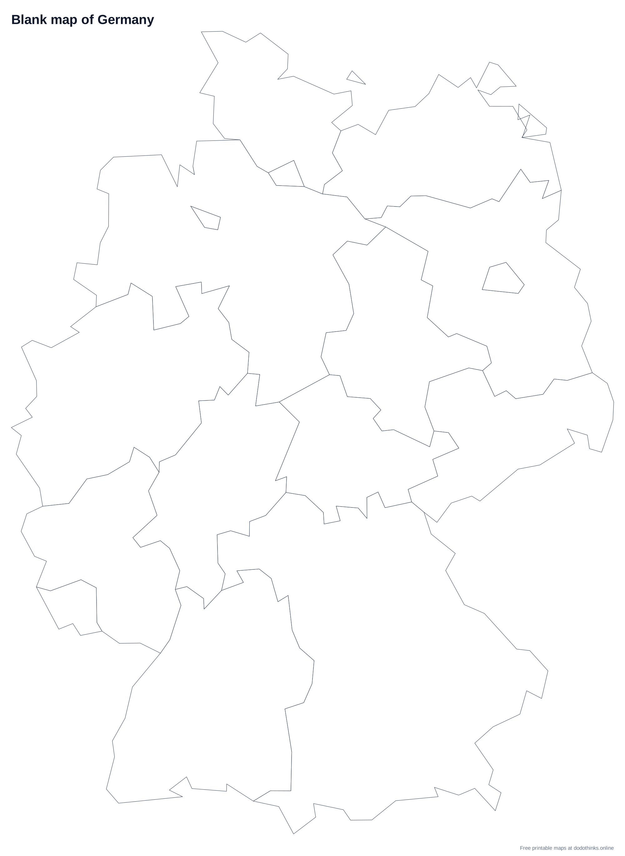
A clean, free map of Germany with all 16 states. Pick a blank outline to fill in, a map with names. Then print it, save it as a PDF, or download it as PNG, JPEG or SVG.
⬇ Download
How to Use These Maps
- Study: print the blank map and label it from memory, then check it against the map with names.
- Classroom: print blank copies as worksheets, free for personal and classroom use.
- Any size: download the SVG to print sharply at any scale, from a worksheet to a wall poster.
Ready to Test Yourself?
Once you've studied the map, take the timed click-the-map quiz.
States on the Map of Germany
Baden-Wurttemberg, Bavaria, Berlin, Brandenburg, Bremen, Hamburg, Hesse, Lower Saxony, Mecklenburg-Vorpommern, North Rhine-Westphalia, Rhineland-Palatinate, Saarland, Saxony, Saxony-Anhalt, Schleswig-Holstein, Thuringia.
Frequently Asked Questions
Is the printable map of Germany free?+
Yes. Every version of the map of Germany is free to print or download, with no sign-up and no watermark beyond a small credit line.
Which versions can I print?+
Two: a blank outline map to fill in, and a map with every name. Small states with no room for a label are numbered and listed in a key under the map.
Can I download it as an image?+
Yes. Choose a style, then Download and pick PNG or JPEG for an image, or SVG for a file that stays sharp at any size, from a worksheet to a wall poster.
How do I save the map as a PDF?+
Choose a style, click "Print / Save as PDF", and in the print dialog pick "Save as PDF" as the destination.
Can I use these maps in the classroom?+
Yes. The maps are free for personal and classroom use, so print as many copies as you need for worksheets, quizzes and displays.