
Printable Map of India
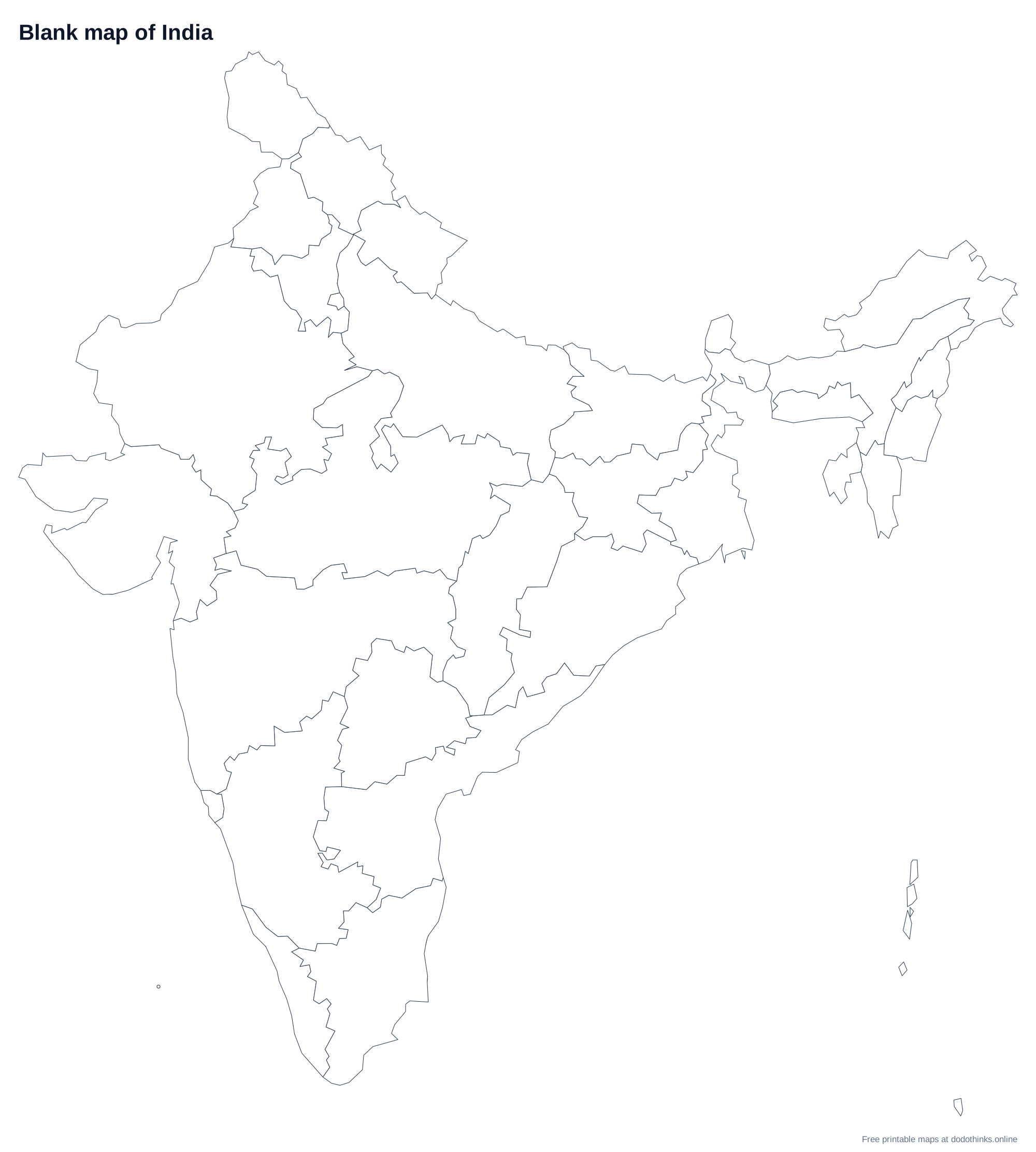
A clean, free map of India with all 35 states and union territories. Pick a blank outline to fill in, a map with names. Then print it, save it as a PDF, or download it as PNG, JPEG or SVG.
⬇ Download
How to Use These Maps
- Study: print the blank map and label it from memory, then check it against the map with names.
- Classroom: print blank copies as worksheets, free for personal and classroom use.
- Any size: download the SVG to print sharply at any scale, from a worksheet to a wall poster.
Ready to Test Yourself?
Once you've studied the map, take the timed click-the-map quiz.
States and union territories on the Map of India
Andaman and Nicobar, Andhra Pradesh, Arunachal Pradesh, Assam, Bihar, Chandigarh, Chhattisgarh, Dadra and Nagar Haveli and Daman and Diu, Delhi, Goa, Gujarat, Haryana, Himachal Pradesh, Jammu and Kashmir, Jharkhand, Karnataka, Kerala, Lakshadweep, Madhya Pradesh, Maharashtra, Manipur, Meghalaya, Mizoram, Nagaland, Odisha, Puducherry, Punjab, Rajasthan, Sikkim, Tamil Nadu, Telangana, Tripura, Uttar Pradesh, Uttarakhand, West Bengal.
Frequently Asked Questions
Is the printable map of India free?+
Yes. Every version of the map of India is free to print or download, with no sign-up and no watermark beyond a small credit line.
Which versions can I print?+
Two: a blank outline map to fill in, and a map with every name. Small states and union territories with no room for a label are numbered and listed in a key under the map.
Can I download it as an image?+
Yes. Choose a style, then Download and pick PNG or JPEG for an image, or SVG for a file that stays sharp at any size, from a worksheet to a wall poster.
How do I save the map as a PDF?+
Choose a style, click "Print / Save as PDF", and in the print dialog pick "Save as PDF" as the destination.
Can I use these maps in the classroom?+
Yes. The maps are free for personal and classroom use, so print as many copies as you need for worksheets, quizzes and displays.