
Printable Map of Nigeria
All 36 states and the Federal Capital Territory, free to print or download. Pick a style below.
⬇ Download
About the Map of Nigeria
Nigeria has 36 states and the Federal Capital Territory, where the capital, Abuja, stands. Niger State is the largest and Lagos the smallest, even though Lagos holds the country's biggest city. The states are often grouped into six geopolitical zones: North West, North East, North Central, South West, South East and South South.
Tips for Learning the States
- Learn the six zones first, then the states inside each. The North West has the most, with seven states.
- The South East is the smallest zone, with five states: Abia, Anambra, Ebonyi, Enugu and Imo.
- The Federal Capital Territory sits in the middle of the country, between Niger, Kaduna, Nasarawa and Kogi.
How to Use These Maps
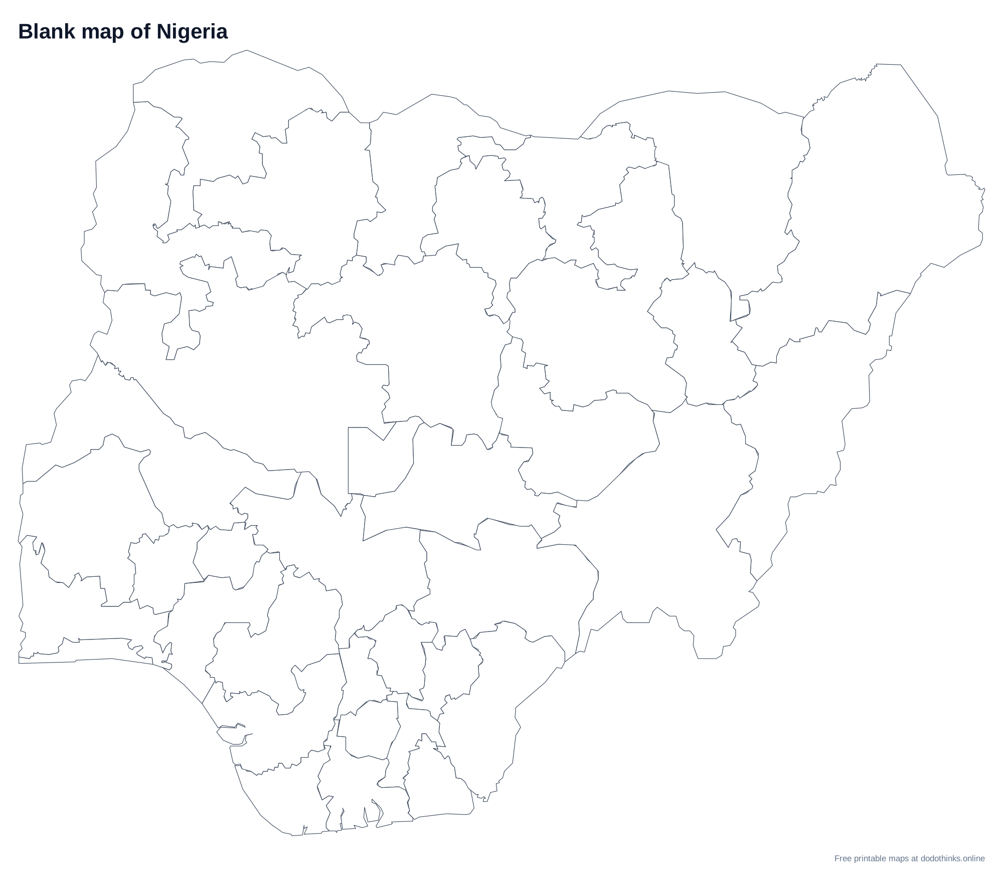
- Study: print the blank map and label it from memory, then check it against the map with names.
How to Draw the Map of Nigeria
- Draw the outline first: a rough square, a little wider at the top. The border with Niger runs roughly east to west across the top, and the north east corner touches Lake Chad.
- The south coast bends inward like a shallow bowl, with the Niger Delta bulging out in the middle, between Lagos in the west and Calabar in the east.
- Draw the two rivers: the Niger comes in from the north west, the Benue from the east, and they meet at Lokoja in Kogi State, then flow south to the delta as one river. They split the country into a Y.
- Put the FCT in the middle, just above where the rivers meet, then add the states zone by zone: the South West, the South South around the delta, the South East, and the bigger northern states.
- Label the capitals last, with a dot for each, and check your map against the labelled version.
Ready to Test Yourself?
Once you've studied the map, take the click-the-map quiz.
States on the Map of Nigeria
Abia, Adamawa, Akwa Ibom, Anambra, Bauchi, Bayelsa, Benue, Borno, Cross River, Delta, Ebonyi, Edo, Ekiti, Enugu, Federal Capital Territory, Gombe, Imo, Jigawa, Kaduna, Kano, Katsina, Kebbi, Kogi, Kwara, Lagos, Nasarawa, Niger, Ogun, Ondo, Osun, Oyo, Plateau, Rivers, Sokoto, Taraba, Yobe, Zamfara.
Frequently Asked Questions
Is the printable map of Nigeria free?+
Yes. Every version of the map of Nigeria, with all 36 states and the Federal Capital Territory, is free to print or download, with no sign-up and no watermark beyond a small credit line.
Which versions can I print?+
Two: a blank outline map to fill in, and a map with every name. Small states with no room for a label are numbered and listed in a key under the map.
Can I download the map of Nigeria as an image?+
Yes. Choose a style, then Download: PNG or JPEG for an image, or SVG for a file of Nigeria that stays sharp at any size, from a worksheet to a wall poster.
How do I save the map as a PDF?+
Choose a style, click "Print / Save as PDF", and in the print dialog pick "Save as PDF" as the destination.
Can I use the map of Nigeria in the classroom?+
Yes. Print as many blank copies as your class needs: students label the states from memory and check their work against the map with names. The maps are free for personal and classroom use.